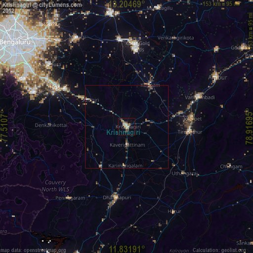
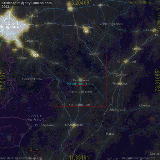
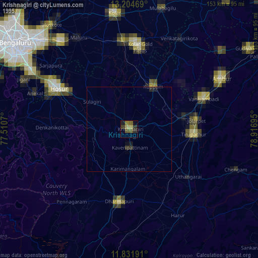
Krishnagiri night lights from space
Night Light of Krishnagiri (Tamil Nadu) from space (India) Src. Average luminocity for 10x10km area is 48.8983% and for 50x50km: 10.2412%.
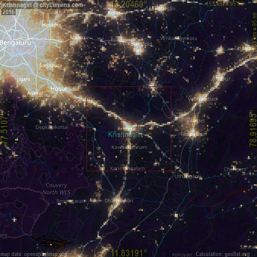
Analysis of Krishnagiri night lights 2016
Square area 10x10 km:
 2.81%
2.81%90-99
9.74%80-89
10.39%70-79
5.84%60-69
5.84%50-59
10.17%40-49
6.71%30-39
16.02%20-29
11.04%10-19
21%0-9
0.43%Square area 50x50 km:
0.11%90-99
0.77%80-89
1.24%70-79
1.16%60-69
0.8%50-59
1.95%40-49
2.85%30-39
2.74%20-29
3.72%10-19
10.09%0-9
74.56%Clear (daylight) street map image can be seen on geolist.org.
Map coordinates:
13° 12' 16.9" North, 77° 30' 38.5" East
12° 31' 9.2" North, 78° 12' 49.8" East
11° 49' 54.9" North, 78° 55' 1" East
Some cities around Krishnagiri sort by population:
• Jalārpet
39.4 km =24.5 mi,  81°
81°
• Kuppam
29.1 km =18.1 mi,  28°
28°
• Pālakkodu
28.3 km =17.6 mi,  213°
213°
• Kāveripatnam
10.8 km =6.7 mi,  177°
177°
• Pāppārappatti
37.2 km =23.1 mi, 206°
• Kelamangalam
40.4 km =25.1 mi,  283°
283°
• Mārāndahalli
27.1 km =16.8 mi,  237°
237°
• Kunnattūr
37.4 km =23.2 mi,  120°
120°
1265863 (p: 66,419)
Sources (retrieved 2019-11-25):
» NASA, Earths city lights 1995
» NASA city lights 2003
» Earth at Night: Flat Maps 2012, 2016