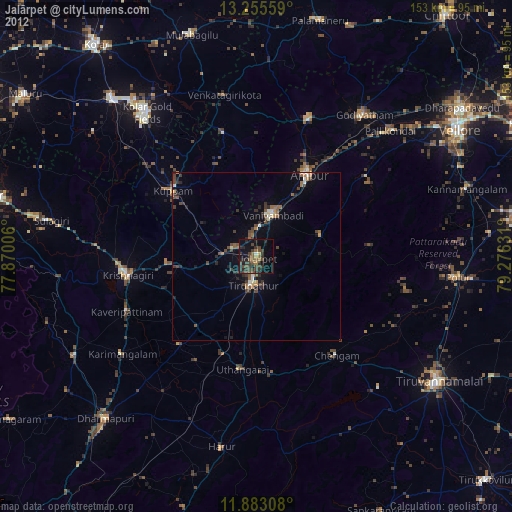
Jalārpet night lights from space
Night Light of Jalārpet (Tamil Nadu) from space (India) Src. Average luminocity for 10x10km area is 40.1147% and for 50x50km: 11.9785%.
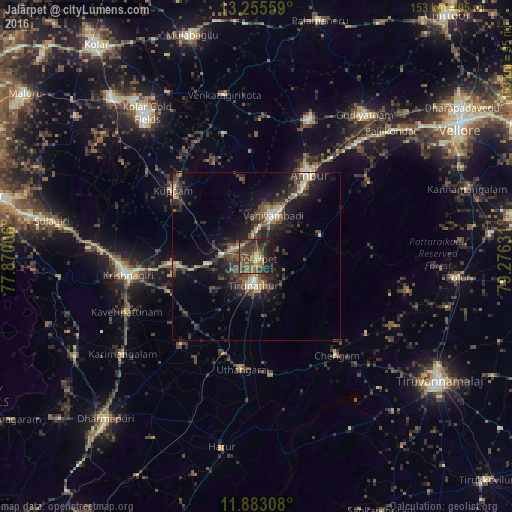
Analysis of Jalārpet night lights 2016
Square area 10x10 km:
 0%
0%90-99
0.22%80-89
5.84%70-79
1.3%60-69
9.09%50-59
12.77%40-49
21.86%30-39
19.05%20-29
11.26%10-19
18.61%0-9
0%Square area 50x50 km:
0.24%90-99
1.1%80-89
1.32%70-79
0.82%60-69
1.45%50-59
2.12%40-49
3.91%30-39
3.85%20-29
5.34%10-19
10.71%0-9
69.14%Clear (daylight) street map image can be seen on geolist.org.
Map coordinates:
13° 15' 20.1" North, 77° 52' 12.2" East
12° 34' 12.9" North, 78° 34' 23.4" East
11° 52' 59.1" North, 79° 16' 34.7" East
Some cities around Jalārpet sort by population:
• Ambur
29.1 km =18.1 mi,  32°
32°
• Vaniyambadi
13.4 km =8.3 mi,  22°
22°
• Krishnagiri
39.4 km =24.5 mi,  261°
261°
• Chengam
37.5 km =23.3 mi,  140°
140°
• Kuppam
32 km =19.9 mi,  308°
308°
• Alangāyam
20.3 km =12.6 mi,  73°
73°
• Odugattūr
40.2 km =25 mi,  56°
56°
• Kunnattūr
25.7 km =16 mi,  195°
195°
1268834 (p: 40,959)
Sources (retrieved 2019-11-25):
» Earth at Night: Flat Maps 2012, 2016