Kotma night lights from space
Night Light of Kotma (Madhya Pradesh) from space (India) Src. Average luminocity for 10x10km area is 28.8996% and for 50x50km: 9.2901%.
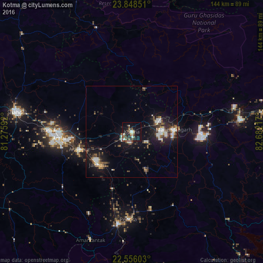
Analysis of Kotma night lights 2016
Square area 10x10 km:
 4.17%
4.17%90-99
5.3%80-89
2.08%70-79
0.95%60-69
3.98%50-59
7.77%40-49
4.17%30-39
1.7%20-29
8.9%10-19
28.6%0-9
32.39%Square area 50x50 km:
1.25%90-99
1.51%80-89
0.56%70-79
0.56%60-69
1.08%50-59
1.49%40-49
1.31%30-39
1.9%20-29
2.97%10-19
9.23%0-9
78.15%Clear (daylight) street map image can be seen on geolist.org.
Map coordinates:
23° 50' 54.6" North, 81° 16' 33.3" East
23° 12' 13.8" North, 81° 58' 44.5" East
22° 33' 21.7" North, 82° 40' 55.8" East
Some cities around Kotma sort by population:
• Pasān
45.9 km =28.5 mi,  150°
150°
• Burhar
45.7 km =28.4 mi,  271°
271°
• Anūppur
31.5 km =19.6 mi,  249°
249°
• Gaurela
50.6 km =31.4 mi,  189°
189°
• Bodri
56 km =34.8 mi, 265°
• Pendra
47.7 km =29.6 mi,  182°
182°
• Baikunthpur
59.8 km =37.2 mi,  83°
83°
• Amarkantak
63 km =39.1 mi,  200°
200°
1265964 (p: 31,756)
Sources (retrieved 2019-11-25):
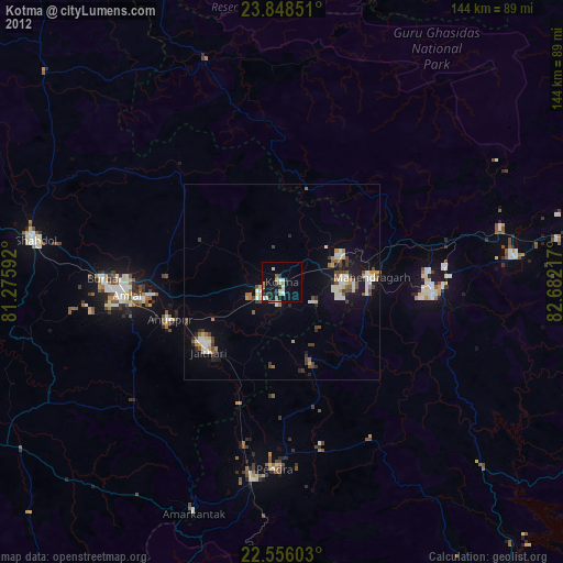
» Earth at Night: Flat Maps 2012, 2016