Pasān night lights from space
Night Light of Pasān (Chhattisgarh) from space (India) Src. Average luminocity for 10x10km area is 1.4087% and for 50x50km: 1.6567%.
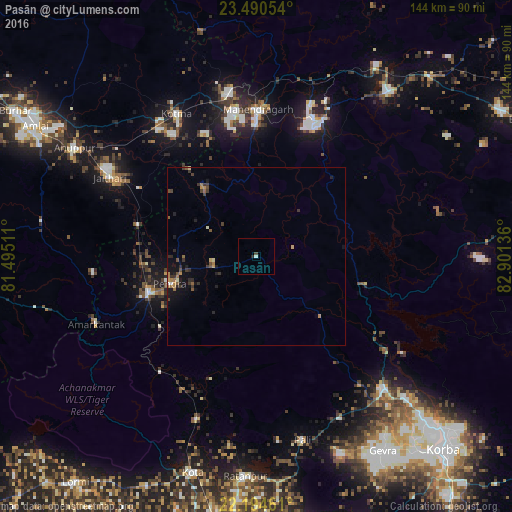
Analysis of Pasān night lights 2016
Square area 10x10 km:
 0%
0%90-99
0.79%80-89
0%70-79
0%60-69
0%50-59
0%40-49
0.79%30-39
0%20-29
0.79%10-19
0%0-9
97.62%Square area 50x50 km:
0.03%90-99
0.13%80-89
0.08%70-79
0.22%60-69
0.37%50-59
0.28%40-49
0.34%30-39
0.56%20-29
0.5%10-19
1.02%0-9
96.47%Clear (daylight) street map image can be seen on geolist.org.
Map coordinates:
23° 29' 25.9" North, 81° 29' 42.4" East
22° 50' 38.8" North, 82° 11' 53.6" East
22° 11' 40.6" North, 82° 54' 4.9" East
Some cities around Pasān sort by population:
• Kotma
45.9 km =28.5 mi,  330°
330°
• Ratanpur
62.1 km =38.6 mi,  182°
182°
• Katghora
51.9 km =32.2 mi,  137°
137°
• Anūppur
59.4 km =36.9 mi,  299°
299°
• Gaurela
32 km =19.9 mi,  251°
251°
• Pendra
25.6 km =15.9 mi, 252°
• Baikunthpur
59.4 km =36.9 mi,  38°
38°
• Amarkantak
48.8 km =30.3 mi, 247°
1260210 (p: 30,928)
Sources (retrieved 2019-11-25):
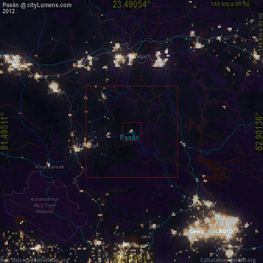
» Earth at Night: Flat Maps 2012, 2016