Koppal night lights from space
Night Light of Koppal (Karnataka) from space (India) Src. Average luminocity for 10x10km area is 45.1926% and for 50x50km: 13.1981%.
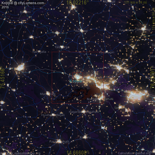
Analysis of Koppal night lights 2016
Square area 10x10 km:
 6.28%
6.28%90-99
11.26%80-89
4.11%70-79
2.16%60-69
6.49%50-59
8.87%40-49
6.49%30-39
6.28%20-29
19.05%10-19
28.35%0-9
0.65%Square area 50x50 km:
1.03%90-99
1.88%80-89
1.5%70-79
1.05%60-69
2.34%50-59
2.45%40-49
2.57%30-39
2.85%20-29
5%10-19
7.72%0-9
71.61%Clear (daylight) street map image can be seen on geolist.org.
Map coordinates:
16° 1' 19.8" North, 75° 27' 6" East
15° 20' 42.8" North, 76° 9' 17.2" East
14° 39' 57.9" North, 76° 51' 28.5" East
Some cities around Koppal sort by population:
• Hospet
26.3 km =16.3 mi,  108°
108°
• Gangāwati
41.3 km =25.7 mi,  76°
76°
• Hadagalli
43.3 km =26.9 mi,  213°
213°
• Mundargi
32.9 km =20.4 mi,  242°
242°
• Naregal
45 km =28 mi,  304°
304°
• Yelbarga
33.7 km =20.9 mi,  332°
332°
• Hampi
32.8 km =20.4 mi,  91°
91°
• Munirābād
20.1 km =12.5 mi,  101°
101°
1266154 (p: 60,868)
Sources (retrieved 2019-11-25):
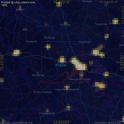
» NASA, Earths city lights 1995
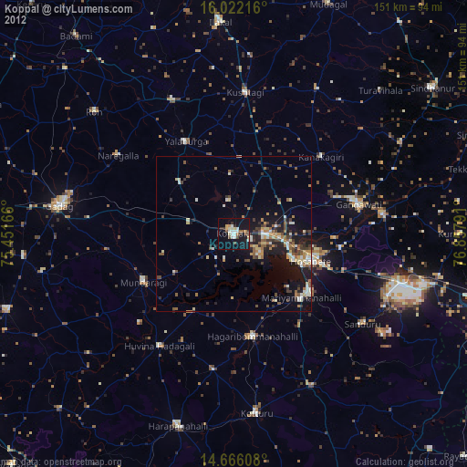
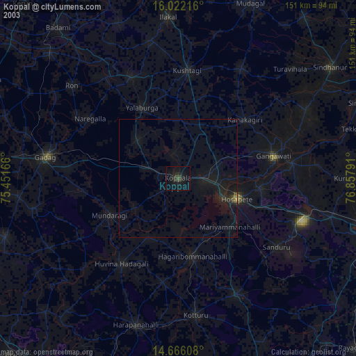
» NASA city lights 2003
» Earth at Night: Flat Maps 2012, 2016