Mundargi night lights from space
Night Light of Mundargi (Karnataka) from space (India) Src. Average luminocity for 10x10km area is 14.6116% and for 50x50km: 3.9521%.
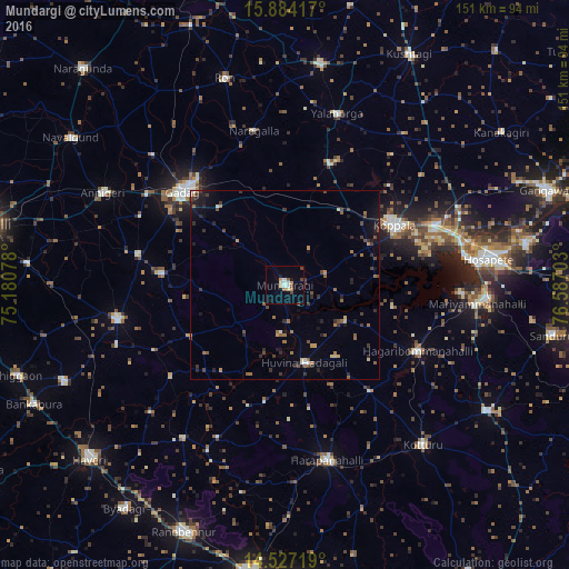

Analysis of Mundargi night lights 2016
Square area 10x10 km:
 1.65%
1.65%90-99
3.31%80-89
1.65%70-79
2.07%60-69
1.03%50-59
1.03%40-49
3.1%30-39
0.62%20-29
0%10-19
3.31%0-9
82.23%Square area 50x50 km:
0.12%90-99
0.35%80-89
0.32%70-79
0.41%60-69
0.7%50-59
0.58%40-49
0.88%30-39
1%20-29
1.17%10-19
1.78%0-9
92.71%Clear (daylight) street map image can be seen on geolist.org.
Map coordinates:
15° 53' 3" North, 75° 10' 50.8" East
15° 12' 24.4" North, 75° 53' 2" East
14° 31' 37.9" North, 76° 35' 13.3" East
Some cities around Mundargi sort by population:
• Gadag-Betageri
37 km =23 mi,  309°
309°
• Gadag
36.8 km =22.9 mi, 312°
• Koppal
32.9 km =20.4 mi,  62°
62°
• Lakshmeshwar
45.4 km =28.2 mi,  258°
258°
• Hadagalli
21.3 km =13.2 mi,  166°
166°
• Mulgund
39.8 km =24.7 mi,  281°
281°
• Naregal
41.5 km =25.8 mi,  348°
348°
• Shirhatti
32.7 km =20.3 mi, 275°
1262516 (p: 21,826)
Sources (retrieved 2019-11-25):
» Earth at Night: Flat Maps 2012, 2016