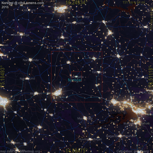
Naregal night lights from space
Night Light of Naregal (Karnataka) from space (India) Src. Average luminocity for 10x10km area is 4.6061% and for 50x50km: 5.6993%.
Analysis of Naregal night lights 2016
Square area 10x10 km:
 0.43%
0.43%90-99
0.43%80-89
0.87%70-79
0%60-69
0.87%50-59
0%40-49
1.95%30-39
1.52%20-29
1.08%10-19
0.65%0-9
92.21%Square area 50x50 km:
0.58%90-99
1.08%80-89
0.42%70-79
0.34%60-69
0.89%50-59
0.7%40-49
0.87%30-39
1.46%20-29
1.48%10-19
3.24%0-9
88.94%Clear (daylight) street map image can be seen on geolist.org.
Map coordinates:
16° 14' 57.6" North, 75° 6' 17.7" East
15° 34' 23.4" North, 75° 48' 29" East
14° 53' 41.1" North, 76° 30' 40.2" East
Some cities around Naregal sort by population:
• Gadag-Betageri
26.9 km =16.7 mi,  229°
229°
• Gadag
24.9 km =15.5 mi, 230°
• Gajendragarh
25.1 km =15.6 mi,  43°
43°
• Bādāmi
40.5 km =25.2 mi,  339°
339°
• Annigeri
43.4 km =27 mi,  247°
247°
• Ron
16.1 km =10 mi,  330°
330°
• Mundargi
41.5 km =25.8 mi,  168°
168°
• Yelbarga
22.3 km =13.9 mi,  77°
77°
1261810 (p: 17,403)
Sources (retrieved 2019-11-25):
» Earth at Night: Flat Maps 2012, 2016