Hadagalli night lights from space
Night Light of Hadagalli (Karnataka) from space (India) Src. Average luminocity for 10x10km area is 12.8017% and for 50x50km: 4.2262%.
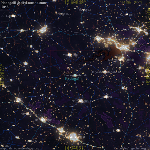
Analysis of Hadagalli night lights 2016
Square area 10x10 km:
 0.83%
0.83%90-99
2.48%80-89
0.83%70-79
2.48%60-69
1.65%50-59
0.83%40-49
2.07%30-39
0.83%20-29
3.72%10-19
1.24%0-9
83.06%Square area 50x50 km:
0.12%90-99
0.45%80-89
0.37%70-79
0.3%60-69
0.88%50-59
0.71%40-49
1.2%30-39
0.64%20-29
1.07%10-19
0.85%0-9
93.39%Clear (daylight) street map image can be seen on geolist.org.
Map coordinates:
15° 41' 54.6" North, 75° 13' 43.4" East
15° 1' 13.7" North, 75° 55' 54.7" East
14° 20' 25.1" North, 76° 38' 5.9" East
Some cities around Hadagalli sort by population:
• Koppal
43.3 km =26.9 mi,  33°
33°
• Harpanahalli
26.6 km =16.5 mi,  166°
166°
• Lakshmeshwar
51 km =31.7 mi,  283°
283°
• Kottūru
37.9 km =23.5 mi,  125°
125°
• Kūdligi
50.4 km =31.3 mi,  104°
104°
• Mundargi
21.3 km =13.2 mi,  346°
346°
• Mulgund
52.7 km =32.7 mi,  303°
303°
• Shirhatti
44.6 km =27.7 mi, 302°
1269849 (p: 25,311)
Sources (retrieved 2019-11-25):
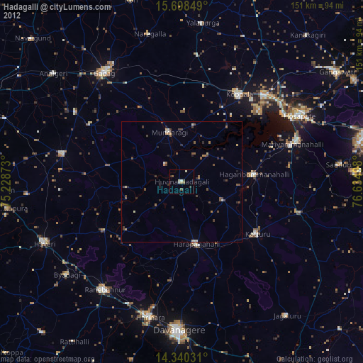
» Earth at Night: Flat Maps 2012, 2016