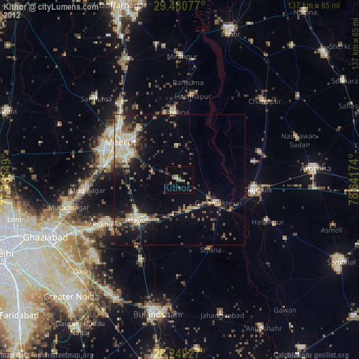
Kithor night lights from space
Night Light of Kithor (Uttar Pradesh) from space (India) Src. Average luminocity for 10x10km area is 24.1742% and for 50x50km: 32.2499%.
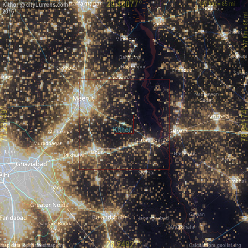
Analysis of Kithor night lights 2016
Square area 10x10 km:
 0.57%
0.57%90-99
1.89%80-89
3.03%70-79
2.27%60-69
2.27%50-59
3.6%40-49
5.68%30-39
5.3%20-29
9.66%10-19
50.95%0-9
14.77%Square area 50x50 km:
2.09%90-99
4.64%80-89
4.29%70-79
3.45%60-69
4.46%50-59
6.68%40-49
8.11%30-39
7.78%20-29
11.93%10-19
22.24%0-9
24.34%Clear (daylight) street map image can be seen on geolist.org.
Map coordinates:
29° 28' 50.8" North, 77° 14' 7.8" East
28° 52' 0.6" North, 77° 56' 19" East
28° 14' 57.4" North, 78° 38' 30.3" East
Some cities around Kithor sort by population:
• Meerut
25.9 km =16.1 mi,  299°
299°
• Hāpur
21.7 km =13.5 mi,  225°
225°
• Mawāna
26.3 km =16.3 mi,  356°
356°
• Garhmuktesar
18.2 km =11.3 mi,  119°
119°
• Parīchhatgarh
12.4 km =7.7 mi, 358°
• Saidpur
28.6 km =17.8 mi,  185°
185°
• Kharkhauda
19.5 km =12.1 mi,  260°
260°
• Babugarh
18.3 km =11.4 mi,  209°
209°
1266461 (p: 25,262)
Sources (retrieved 2019-11-25):
» Earth at Night: Flat Maps 2012, 2016