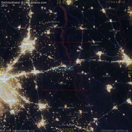
Garhmuktesar night lights from space
Night Light of Garhmuktesar (Uttar Pradesh) from space (India) Src. Average luminocity for 10x10km area is 37.5606% and for 50x50km: 24.1075%.
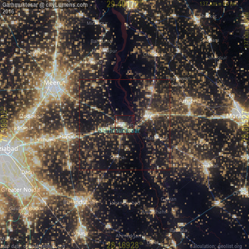
Analysis of Garhmuktesar night lights 2016
Square area 10x10 km:
 2.84%
2.84%90-99
8.14%80-89
3.22%70-79
2.84%60-69
4.73%50-59
8.14%40-49
5.49%30-39
7.77%20-29
19.89%10-19
33.14%0-9
3.79%Square area 50x50 km:
0.57%90-99
1.72%80-89
1.74%70-79
1.72%60-69
2.92%50-59
5.41%40-49
7.02%30-39
7.88%20-29
13.71%10-19
29.85%0-9
27.45%Clear (daylight) street map image can be seen on geolist.org.
Map coordinates:
29° 24' 6.2" North, 77° 23' 56.5" East
28° 47' 14.4" North, 78° 6' 7.7" East
28° 10' 9.4" North, 78° 48' 19" East
Some cities around Garhmuktesar sort by population:
• Hasanpur
19.2 km =11.9 mi,  112°
112°
• Gajraula
14.9 km =9.3 mi,  64°
64°
• Bachhraon
20.2 km =12.6 mi,  39°
39°
• Dhanaura
24.3 km =15.1 mi, 38°
• Kithor
18.2 km =11.3 mi,  299°
299°
• Parīchhatgarh
26.8 km =16.7 mi,  322°
322°
• Saidpur
27.2 km =16.9 mi,  223°
223°
• Babugarh
25.9 km =16.1 mi,  254°
254°
1271543 (p: 37,043)
Sources (retrieved 2019-11-25):
» Earth at Night: Flat Maps 2012, 2016