Mawāna night lights from space
Night Light of Mawāna (Uttar Pradesh) from space (India) Src. Average luminocity for 10x10km area is 43.7183% and for 50x50km: 29.8793%.
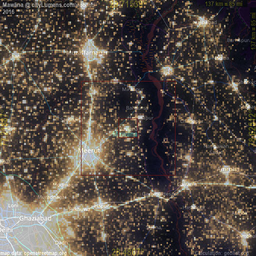
Analysis of Mawāna night lights 2016
Square area 10x10 km:
 0.99%
0.99%90-99
5.56%80-89
7.54%70-79
3.57%60-69
5.75%50-59
13.89%40-49
9.52%30-39
11.71%20-29
31.75%10-19
9.72%0-9
0%Square area 50x50 km:
2.25%90-99
4.63%80-89
4.46%70-79
3.47%60-69
4.04%50-59
5.69%40-49
7.34%30-39
7.01%20-29
9.01%10-19
15.43%0-9
36.67%Clear (daylight) street map image can be seen on geolist.org.
Map coordinates:
29° 42' 55.4" North, 77° 13' 7.9" East
29° 6' 10.4" North, 77° 55' 19.2" East
28° 29' 12.1" North, 78° 37' 30.4" East
Some cities around Mawāna sort by population:
• Meerut
25 km =15.5 mi,  236°
236°
• Mīrānpur
21 km =13 mi,  7°
7°
• Hastināpur
10.5 km =6.5 mi,  52°
52°
• Lāwar Khās
14 km =8.7 mi,  273°
273°
• Parīchhatgarh
13.9 km =8.6 mi,  175°
175°
• Phalauda
13 km =8.1 mi,  316°
316°
• Bahsūma
11.9 km =7.4 mi,  24°
24°
• Daurāla
21.1 km =13.1 mi, 273°
1263275 (p: 76,973)
Sources (retrieved 2019-11-25):
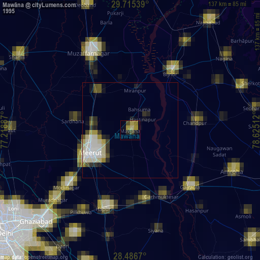
» NASA, Earths city lights 1995
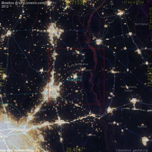
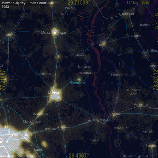
» NASA city lights 2003
» Earth at Night: Flat Maps 2012, 2016