Kirandul night lights from space
Night Light of Kirandul (Chhattisgarh) from space (India) Src. Average luminocity for 10x10km area is 36.2355% and for 50x50km: 3.197%.
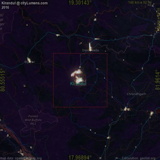
Analysis of Kirandul night lights 2016
Square area 10x10 km:
 7.44%
7.44%90-99
7.64%80-89
5.17%70-79
2.48%60-69
0.41%50-59
4.34%40-49
2.48%30-39
5.99%20-29
16.53%10-19
31.2%0-9
16.32%Square area 50x50 km:
0.63%90-99
0.6%80-89
0.31%70-79
0.22%60-69
0.17%50-59
0.36%40-49
0.24%30-39
0.5%20-29
0.91%10-19
3.19%0-9
92.87%Clear (daylight) street map image can be seen on geolist.org.
Map coordinates:
19° 18' 5.1" North, 80° 33' 18.5" East
18° 38' 11.4" North, 81° 15' 29.8" East
17° 58' 8.2" North, 81° 57' 41" East
Some cities around Kirandul sort by population:
• Jagdalpur
94.3 km =58.6 mi,  58°
58°
• Bhadrāchalam
114.5 km =71.1 mi,  199°
199°
• Manuguru
90.8 km =56.4 mi,  210°
210°
• Kondagaon
114.4 km =71.1 mi,  21°
21°
• Malakanagiri
73 km =45.4 mi,  114°
114°
• Balimila
99.2 km =61.6 mi,  115°
115°
• Chittarkonda
106.2 km =66 mi, 122°
• Gīdam
40.4 km =25.1 mi, 21°
8581647 (p: 19,053)
Sources (retrieved 2019-11-25):
» Earth at Night: Flat Maps 2012, 2016