Jagdalpur night lights from space
Night Light of Jagdalpur (Chhattisgarh) from space (India) Src. Average luminocity for 10x10km area is 46.2987% and for 50x50km: 5.1426%.
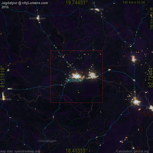
Analysis of Jagdalpur night lights 2016
Square area 10x10 km:
 11.04%
90-99
9.96%80-89
2.38%70-79
3.9%60-69
7.58%50-59
5.84%40-49
5.63%30-39
6.49%20-29
11.9%10-19
34.2%0-9
1.08%Square area 50x50 km:
0.67%90-99
0.8%80-89
0.22%70-79
0.34%60-69
0.5%50-59
0.86%40-49
0.98%30-39
1.06%20-29
1.18%10-19
5.92%0-9
87.47%Clear (daylight) street map image can be seen on geolist.org.
Map coordinates:
19° 44' 40.2" North, 81° 19' 5.5" East
19° 4' 52.9" North, 82° 1' 16.7" East
18° 24' 56" North, 82° 43' 28" East
Some cities around Jagdalpur sort by population:
• Nowrangapur
57.8 km =35.9 mi,  73°
73°
• Jeypore
63 km =39.1 mi,  113°
113°
• Korāput
78.4 km =48.7 mi, 112°
• Kondagaon
67.9 km =42.2 mi,  326°
326°
• Umarkot
67.8 km =42.1 mi,  16°
16°
• Malakanagiri
81 km =50.3 mi,  189°
189°
• Kotapārh
32.7 km =20.3 mi,  77°
77°
• Gīdam
66.5 km =41.3 mi,  259°
259°
1269578 (p: 76,465)
Sources (retrieved 2019-11-25):
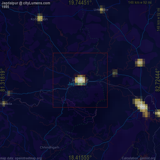
» NASA, Earths city lights 1995
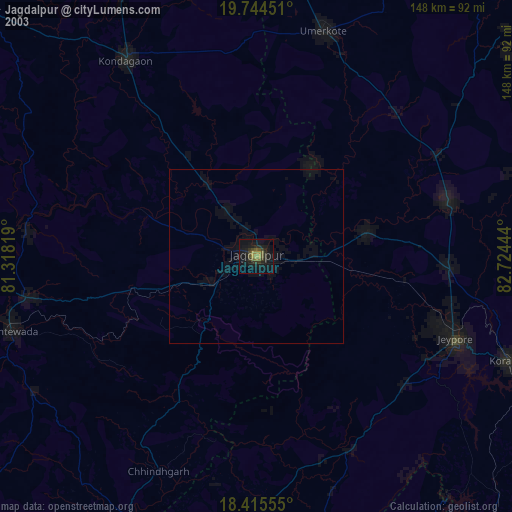
» NASA city lights 2003
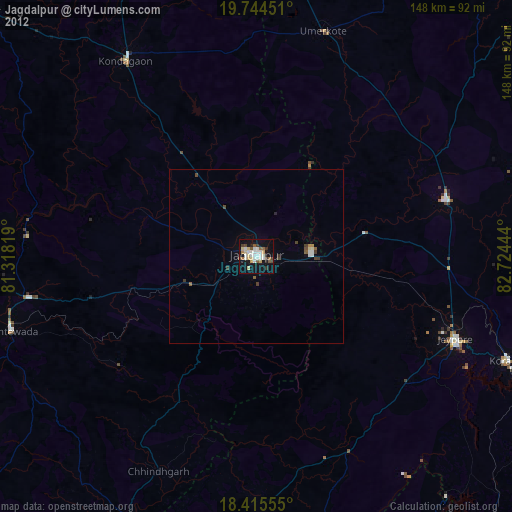
» Earth at Night: Flat Maps 2012, 2016