Gīdam night lights from space
Night Light of Gīdam (Chhattisgarh) from space (India) Src. Average luminocity for 10x10km area is 4.4805% and for 50x50km: 1.0679%.
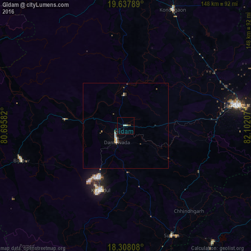
Analysis of Gīdam night lights 2016
Square area 10x10 km:
 0%
0%90-99
1.73%80-89
0.43%70-79
0.43%60-69
0%50-59
1.08%40-49
0.65%30-39
0%20-29
0%10-19
0%0-9
95.67%Square area 50x50 km:
0.13%90-99
0.23%80-89
0.07%70-79
0.11%60-69
0.02%50-59
0.17%40-49
0.29%30-39
0.16%20-29
0.08%10-19
0.07%0-9
98.68%Clear (daylight) street map image can be seen on geolist.org.
Map coordinates:
19° 38' 16.4" North, 80° 41' 45" East
18° 58' 27.5" North, 81° 23' 56.2" East
18° 18' 29.1" North, 82° 6' 7.5" East
Some cities around Gīdam sort by population:
• Jagdalpur
66.5 km =41.3 mi,  79°
79°
• Kondagaon
74 km =46 mi,  22°
22°
• Umarkot
114.4 km =71.1 mi,  47°
47°
• Malakanagiri
85.2 km =52.9 mi,  142°
142°
• Kirandul
40.4 km =25.1 mi,  201°
201°
• Kotapārh
99.1 km =61.6 mi, 79°
• Balimila
109.6 km =68.1 mi, 137°
• Chittarkonda
120.5 km =74.9 mi, 141°
1271215 (p: 6,228)
Sources (retrieved 2019-11-25):
» Earth at Night: Flat Maps 2012, 2016