Balimila night lights from space
Night Light of Balimila (Odisha) from space (India) Src. Average luminocity for 10x10km area is 2.2381% and for 50x50km: 0.7953%.
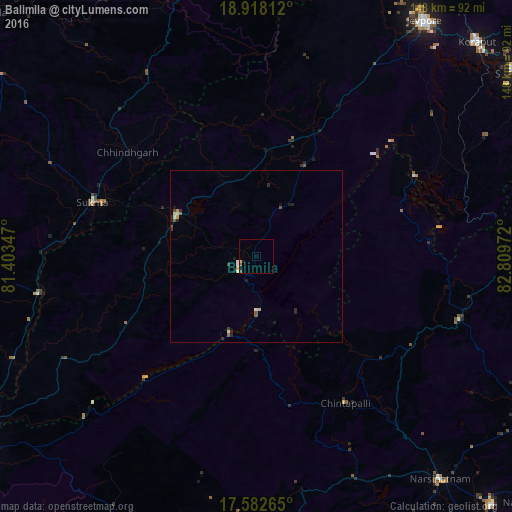
Analysis of Balimila night lights 2016
Square area 10x10 km:
 0%
0%90-99
0%80-89
0.87%70-79
0%60-69
0.43%50-59
0.65%40-49
0.65%30-39
0%20-29
0%10-19
0.87%0-9
96.54%Square area 50x50 km:
0.06%90-99
0.14%80-89
0.12%70-79
0.1%60-69
0.02%50-59
0.18%40-49
0.11%30-39
0.16%20-29
0.31%10-19
0.24%0-9
98.57%Clear (daylight) street map image can be seen on geolist.org.
Map coordinates:
18° 55' 5.2" North, 81° 24' 12.5" East
18° 15' 6" North, 82° 6' 23.7" East
17° 34' 57.5" North, 82° 48' 35" East
Some cities around Balimila sort by population:
• Jeypore
83.2 km =51.7 mi,  36°
36°
• Jagdalpur
92.7 km =57.6 mi,  354°
354°
• Korāput
89.1 km =55.4 mi,  45°
45°
• Narsīpatnam
84.2 km =52.3 mi,  140°
140°
• Rampachodavaram
96.7 km =60.1 mi,  201°
201°
• Malakanagiri
26.3 km =16.3 mi,  298°
298°
• Mādugula
83.7 km =52 mi,  116°
116°
• Chittarkonda
14 km =8.7 mi,  179°
179°
1277570 (p: 12,008)
Sources (retrieved 2019-11-25):
» Earth at Night: Flat Maps 2012, 2016