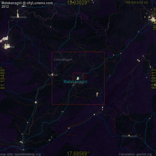
Malakanagiri night lights from space
Night Light of Malakanagiri (Odisha) from space (India) Src. Average luminocity for 10x10km area is 7.4421% and for 50x50km: 0.8545%.
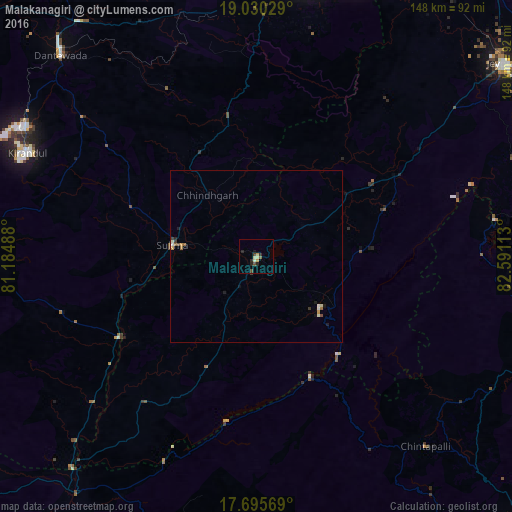
Analysis of Malakanagiri night lights 2016
Square area 10x10 km:
 0%
0%90-99
1.03%80-89
1.45%70-79
1.65%60-69
0%50-59
1.45%40-49
1.45%30-39
1.24%20-29
3.72%10-19
0.83%0-9
87.19%Square area 50x50 km:
0.06%90-99
0.14%80-89
0.09%70-79
0.16%60-69
0.06%50-59
0.14%40-49
0.16%30-39
0.15%20-29
0.19%10-19
0.25%0-9
98.6%Clear (daylight) street map image can be seen on geolist.org.
Map coordinates:
19° 1' 49" North, 81° 11' 5.6" East
18° 21' 51.4" North, 81° 53' 16.8" East
17° 41' 44.5" North, 82° 35' 28.1" East
Some cities around Malakanagiri sort by population:
• Jeypore
90.5 km =56.2 mi,  52°
52°
• Jagdalpur
81 km =50.3 mi,  9°
9°
• Korāput
100 km =62.1 mi,  60°
60°
• Kirandul
73 km =45.4 mi,  294°
294°
• Kotapārh
98 km =60.9 mi,  28°
28°
• Balimila
26.3 km =16.3 mi,  118°
118°
• Chittarkonda
35.4 km =22 mi,  138°
138°
• Gīdam
85.2 km =52.9 mi,  322°
322°
1264075 (p: 25,054)
Sources (retrieved 2019-11-25):
» Earth at Night: Flat Maps 2012, 2016