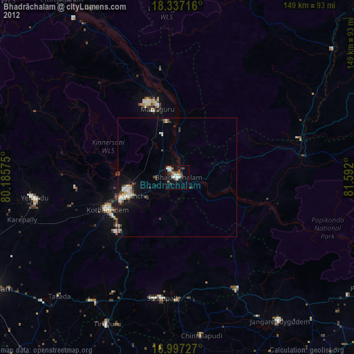
Bhadrāchalam night lights from space
Night Light of Bhadrāchalam (Telangana) from space (India) Src. Average luminocity for 10x10km area is 30.3884% and for 50x50km: 5.684%.
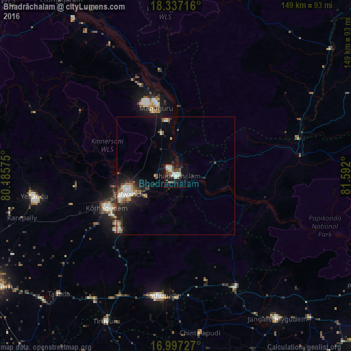
Analysis of Bhadrāchalam night lights 2016
Square area 10x10 km:
 4.55%
4.55%90-99
6.4%80-89
4.75%70-79
0.62%60-69
2.89%50-59
5.99%40-49
5.37%30-39
4.55%20-29
5.58%10-19
21.07%0-9
38.22%Square area 50x50 km:
0.7%90-99
1.06%80-89
0.52%70-79
0.4%60-69
0.71%50-59
0.81%40-49
0.82%30-39
0.84%20-29
1.74%10-19
4.46%0-9
87.94%Clear (daylight) street map image can be seen on geolist.org.
Map coordinates:
18° 20' 13.8" North, 80° 11' 8.7" East
17° 40' 6.5" North, 80° 53' 19.9" East
16° 59' 50.2" North, 81° 35' 31.2" East
Some cities around Bhadrāchalam sort by population:
• Khammam
91.9 km =57.1 mi,  239°
239°
• Kottagūdem
31.6 km =19.6 mi,  245°
245°
• Pāloncha
20.8 km =12.9 mi, 249°
• Palwancha
24.5 km =15.2 mi, 246°
• Yellandu
60.7 km =37.7 mi,  261°
261°
• Sathupalli
46.6 km =29 mi,  182°
182°
• Manuguru
29.8 km =18.5 mi,  347°
347°
• Dornakal
82.3 km =51.1 mi, 252°
1276328 (p: 45,656)
Sources (retrieved 2019-11-25):
» Earth at Night: Flat Maps 2012, 2016