Manuguru night lights from space
Night Light of Manuguru (Telangana) from space (India) Src. Average luminocity for 10x10km area is 25.8983% and for 50x50km: 3.2814%.
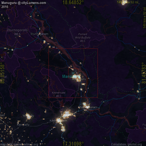
Analysis of Manuguru night lights 2016
Square area 10x10 km:
 4.33%
4.33%90-99
6.71%80-89
2.81%70-79
0.87%60-69
1.95%50-59
3.9%40-49
3.03%30-39
3.03%20-29
3.03%10-19
24.46%0-9
45.89%Square area 50x50 km:
0.33%90-99
0.53%80-89
0.29%70-79
0.42%60-69
0.44%50-59
0.49%40-49
0.34%30-39
0.48%20-29
0.54%10-19
3.2%0-9
92.94%Clear (daylight) street map image can be seen on geolist.org.
Map coordinates:
18° 38' 54.7" North, 80° 3' 5.7" East
17° 55' 48.8" North, 80° 49' 36.2" East
17° 18' 39.5" North, 81° 27' 28.2" East
Some cities around Manuguru sort by population:
• Kottagūdem
47.6 km =29.6 mi,  207°
207°
• Pāloncha
38.7 km =24 mi,  199°
199°
• Palwancha
41.9 km =26 mi, 202°
• Bhadrāchalam
29.8 km =18.5 mi,  167°
167°
• Yellandu
65.5 km =40.7 mi,  234°
234°
• Sathupalli
75.8 km =47.1 mi,  176°
176°
• Kirandul
90.8 km =56.4 mi,  30°
30°
• Dornakal
89.8 km =55.8 mi, 233°
7302836 (p: 32,539)
Sources (retrieved 2019-11-25):
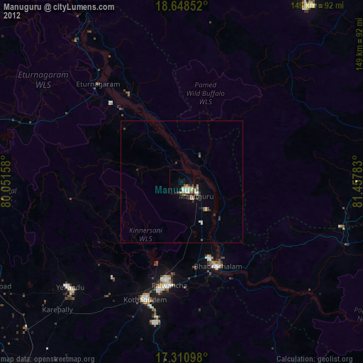
» Earth at Night: Flat Maps 2012, 2016