Bīlāspur night lights from space
Night Light of Bīlāspur (Uttar Pradesh) from space (India) Src. Average luminocity for 10x10km area is 13.9697% and for 50x50km: 24.2095%.
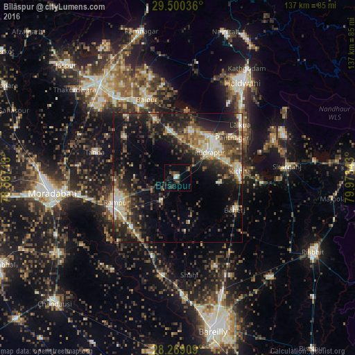
Analysis of Bīlāspur night lights 2016
Square area 10x10 km:
 1.7%
1.7%90-99
0.57%80-89
0.76%70-79
0.76%60-69
0.19%50-59
3.79%40-49
1.7%30-39
5.68%20-29
7.77%10-19
2.84%0-9
74.24%Square area 50x50 km:
1.96%90-99
3.57%80-89
3.53%70-79
2.17%60-69
2.99%50-59
4.02%40-49
5.41%30-39
5.77%20-29
9.24%10-19
13.84%0-9
47.48%Clear (daylight) street map image can be seen on geolist.org.
Map coordinates:
29° 30' 1.3" North, 78° 34' 1.8" East
28° 53' 11.6" North, 79° 16' 13.1" East
28° 16' 8.7" North, 79° 58' 24.3" East
Some cities around Bīlāspur sort by population:
• Rāmpur
25.2 km =15.7 mi,  250°
250°
• Baheri
25.4 km =15.8 mi,  119°
119°
• Kichha
24.5 km =15.2 mi,  83°
83°
• Suār
26.1 km =16.2 mi,  307°
307°
• Milak
32.2 km =20 mi,  197°
197°
• Kemrī
10.9 km =6.8 mi,  215°
215°
• Shīshgarh
18 km =11.2 mi,  166°
166°
• Shergarh
27.8 km =17.3 mi,  159°
159°
1275634 (p: 39,873)
Sources (retrieved 2019-11-25):
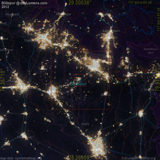
» Earth at Night: Flat Maps 2012, 2016