Kemrī night lights from space
Night Light of Kemrī (Uttar Pradesh) from space (India) Src. Average luminocity for 10x10km area is 13.517% and for 50x50km: 20.0629%.
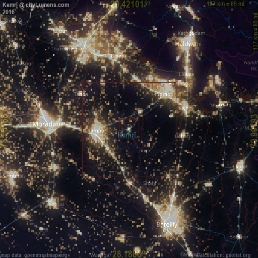
Analysis of Kemrī night lights 2016
Square area 10x10 km:
 0%
0%90-99
1.33%80-89
1.14%70-79
0.57%60-69
1.89%50-59
2.65%40-49
3.98%30-39
3.41%20-29
5.87%10-19
4.36%0-9
74.81%Square area 50x50 km:
1.49%90-99
2.47%80-89
2.75%70-79
1.55%60-69
2.35%50-59
3.35%40-49
4.83%30-39
5.02%20-29
8%10-19
12.72%0-9
55.47%Clear (daylight) street map image can be seen on geolist.org.
Map coordinates:
29° 25' 15.6" North, 78° 30' 6" East
28° 48' 24.2" North, 79° 12' 17.3" East
28° 11' 19.7" North, 79° 54' 28.5" East
Some cities around Kemrī sort by population:
• Rāmpur
17.3 km =10.7 mi,  271°
271°
• Baheri
28.7 km =17.8 mi,  97°
97°
• Bīlāspur
10.9 km =6.8 mi,  35°
35°
• Suār
28.6 km =17.8 mi,  329°
329°
• Milak
22.1 km =13.7 mi,  188°
188°
• Shīshgarh
13.7 km =8.5 mi,  128°
128°
• Mīrganj
29.6 km =18.4 mi,  179°
179°
• Shergarh
23.5 km =14.6 mi,  137°
137°
1267297 (p: 26,726)
Sources (retrieved 2019-11-25):
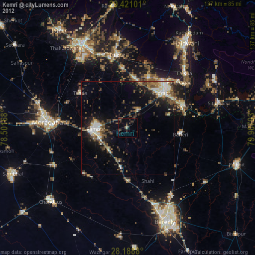
» Earth at Night: Flat Maps 2012, 2016