Kota night lights from space
Night Light of Kota (Rajasthan) from space (India) Src. Average luminocity for 10x10km area is 97.0139% and for 50x50km: 24.6338%.
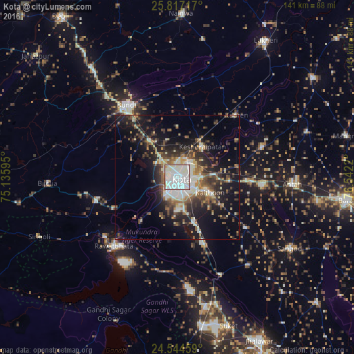

Analysis of Kota night lights 2016
Square area 10x10 km:
 48.41%
90-99
46.63%80-89
0.99%70-79
2.38%60-69
1.39%50-59
0.2%40-49
0%30-39
0%20-29
0%10-19
0%0-9
0%Square area 50x50 km:
3.43%90-99
5.77%80-89
2.01%70-79
2.39%60-69
2.38%50-59
3.47%40-49
4.52%30-39
4.67%20-29
7.35%10-19
15.73%0-9
48.27%Clear (daylight) street map image can be seen on geolist.org.
Map coordinates:
25° 49' 1.8" North, 75° 8' 9.4" East
25° 10' 57.1" North, 75° 50' 20.7" East
24° 32' 40.5" North, 76° 32' 31.9" East
Some cities around Kota sort by population:
• Būndi
34.9 km =21.7 mi,  324°
324°
• Rāwatbhāta
37.5 km =23.3 mi,  221°
221°
• Anta
46.5 km =28.9 mi,  94°
94°
• Keshorai Pātan
15.9 km =9.9 mi,  39°
39°
• Sangod
53.3 km =33.1 mi,  122°
122°
• Kāpren
34.2 km =21.3 mi, 43°
• Chechat
46.5 km =28.9 mi,  174°
174°
• Udpura
51.8 km =32.2 mi,  164°
164°
1266049 (p: 763,088)
Sources (retrieved 2019-11-25):
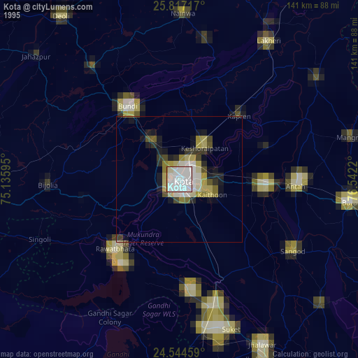
» NASA, Earths city lights 1995
» NASA city lights 2003
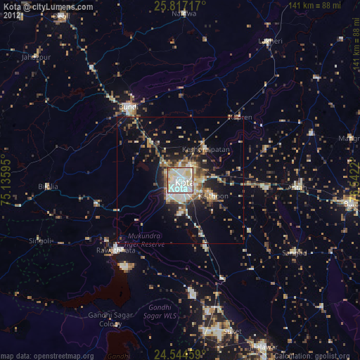
» Earth at Night: Flat Maps 2012, 2016