Rāwatbhāta night lights from space
Night Light of Rāwatbhāta (Rajasthan) from space (India) Src. Average luminocity for 10x10km area is 37.9034% and for 50x50km: 7.7282%.
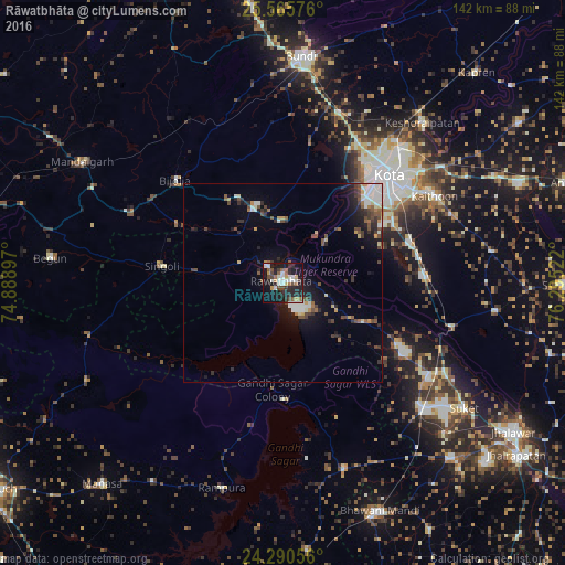
Analysis of Rāwatbhāta night lights 2016
Square area 10x10 km:
 6.06%
6.06%90-99
8.52%80-89
1.52%70-79
4.17%60-69
3.6%50-59
6.44%40-49
6.25%30-39
3.79%20-29
17.42%10-19
34.28%0-9
7.95%Square area 50x50 km:
1.1%90-99
1.4%80-89
0.55%70-79
0.69%60-69
0.51%50-59
1.16%40-49
1.65%30-39
1.16%20-29
2.28%10-19
5.17%0-9
84.34%Clear (daylight) street map image can be seen on geolist.org.
Map coordinates:
25° 33' 56.7" North, 74° 53' 20.3" East
24° 55' 47.3" North, 75° 35' 31.5" East
24° 17' 26" North, 76° 17' 42.8" East
Some cities around Rāwatbhāta sort by population:
• Kota
37.5 km =23.3 mi,  41°
41°
• Rāmganj Mandi
47.4 km =29.5 mi,  131°
131°
• Keshorai Pātan
53.4 km =33.2 mi, 40°
• Bhānpura
48.9 km =30.4 mi,  161°
161°
• Chechat
34.5 km =21.4 mi,  121°
121°
• Udpura
44.4 km =27.6 mi, 119°
• Singoli
29.7 km =18.5 mi,  277°
277°
• Ratangarh
49.6 km =30.8 mi,  255°
255°
1258297 (p: 36,872)
Sources (retrieved 2019-11-25):
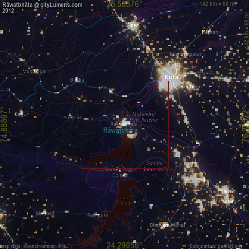
» Earth at Night: Flat Maps 2012, 2016