Sikandra Rao night lights from space
Night Light of Sikandra Rao (Uttar Pradesh) from space (India) Src. Average luminocity for 10x10km area is 26.623% and for 50x50km: 13.0768%.
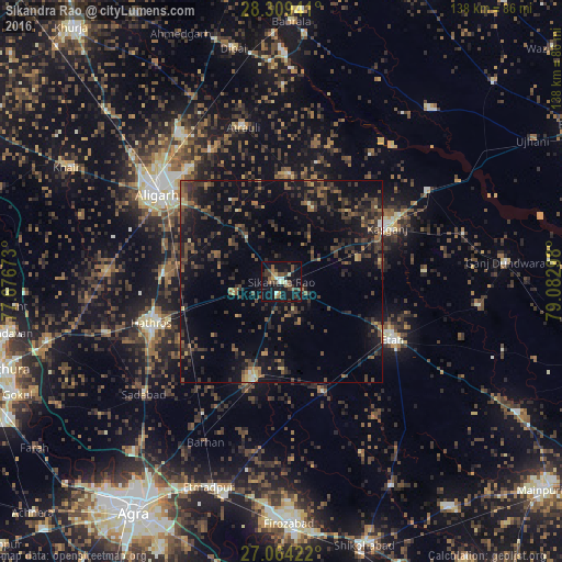
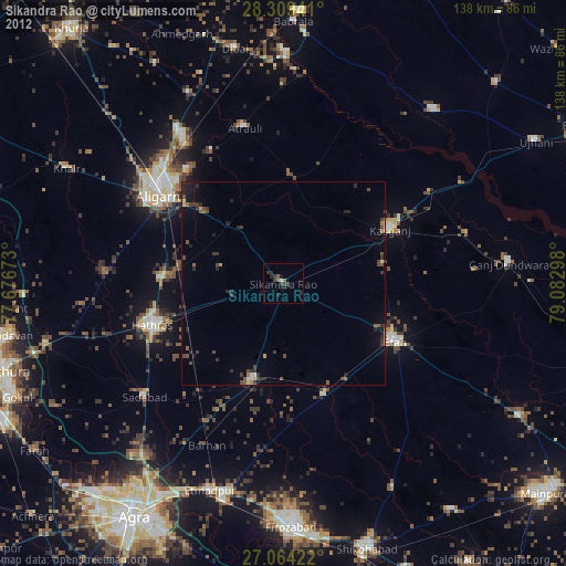
Analysis of Sikandra Rao night lights 2016
Square area 10x10 km:
 1.59%
1.59%90-99
3.17%80-89
2.98%70-79
0.79%60-69
3.77%50-59
6.15%40-49
6.35%30-39
6.55%20-29
5.36%10-19
38.69%0-9
24.6%Square area 50x50 km:
0.13%90-99
0.39%80-89
0.9%70-79
0.49%60-69
2.22%50-59
2.44%40-49
4.01%30-39
4.62%20-29
5.84%10-19
12.45%0-9
66.52%Clear (daylight) street map image can be seen on geolist.org.
Map coordinates:
28° 18' 33.9" North, 77° 40' 36.2" East
27° 41' 18.9" North, 78° 22' 47.5" East
27° 3' 51.2" North, 79° 4' 58.7" East
Some cities around Sikandra Rao sort by population:
• Hāthras
33.9 km =21.1 mi,  252°
252°
• Kāsganj
29.4 km =18.3 mi,  62°
62°
• Jalesar
25.1 km =15.6 mi,  197°
197°
• Chharra
26.3 km =16.3 mi,  4°
4°
• Mārahra
19.4 km =12.1 mi,  73°
73°
• Jalālī
23.4 km =14.5 mi,  327°
327°
• Sāsni
29.3 km =18.2 mi,  273°
273°
• Amānpur
35.3 km =21.9 mi,  85°
85°
1256322 (p: 42,229)
Sources (retrieved 2019-11-25):
» Earth at Night: Flat Maps 2012, 2016