Jhajjar night lights from space
Night Light of Jhajjar (Haryana) from space (India) Src. Average luminocity for 10x10km area is 21.2102% and for 50x50km: 12.0945%.
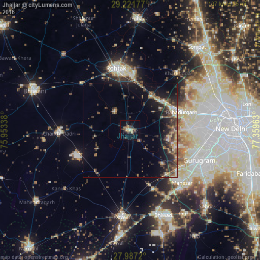
Analysis of Jhajjar night lights 2016
Square area 10x10 km:
 0.57%
0.57%90-99
1.33%80-89
4.73%70-79
2.46%60-69
1.7%50-59
3.41%40-49
5.49%30-39
6.25%20-29
4.73%10-19
9.28%0-9
60.04%Square area 50x50 km:
0.63%90-99
1.46%80-89
1.61%70-79
1.22%60-69
1.38%50-59
2.23%40-49
2.96%30-39
3.19%20-29
3.73%10-19
8.2%0-9
73.39%Clear (daylight) street map image can be seen on geolist.org.
Map coordinates:
29° 13' 18.4" North, 75° 57' 12.2" East
28° 36' 22.7" North, 76° 39' 23.4" East
27° 59' 13.9" North, 77° 21' 34.7" East
Some cities around Jhajjar sort by population:
• Najafgarh
31.6 km =19.6 mi,  89°
89°
• Rohtak
32.7 km =20.3 mi,  348°
348°
• Bahādurgarh
28.9 km =18 mi,  70°
70°
• Pataudi
33.4 km =20.8 mi,  159°
159°
• Kalānaur
35.4 km =22 mi,  314°
314°
• Beri Khās
13.1 km =8.1 mi,  323°
323°
• Kheri Sāmpla
22.4 km =13.9 mi,  31°
31°
• Farrukhnagar
24.1 km =15 mi,  137°
137°
1269042 (p: 44,122)
Sources (retrieved 2019-11-25):
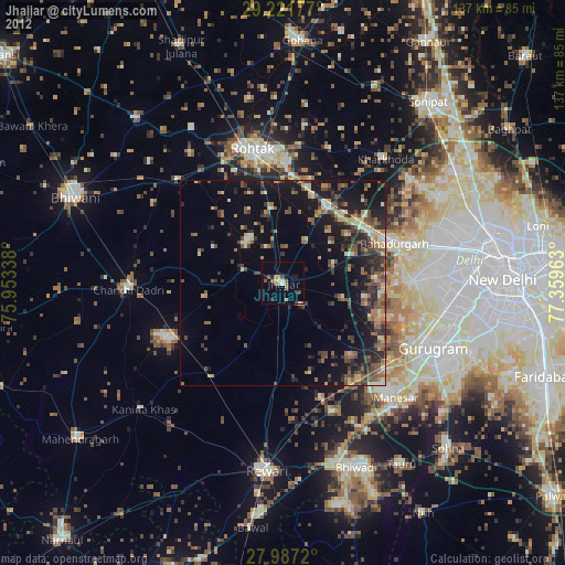
» Earth at Night: Flat Maps 2012, 2016