Kalānaur night lights from space
Night Light of Kalānaur (Haryana) from space (India) Src. Average luminocity for 10x10km area is 5.2765% and for 50x50km: 8.0522%.
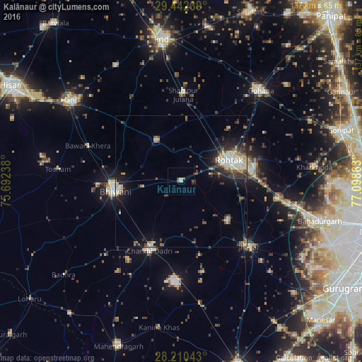
Analysis of Kalānaur night lights 2016
Square area 10x10 km:
 0%
0%90-99
0%80-89
3.03%70-79
0%60-69
0%50-59
1.14%40-49
1.7%30-39
0.38%20-29
0.57%10-19
0%0-9
93.18%Square area 50x50 km:
0.91%90-99
1.37%80-89
1.5%70-79
0.43%60-69
0.86%50-59
0.88%40-49
1.44%30-39
1.52%20-29
2.18%10-19
4.97%0-9
83.94%Clear (daylight) street map image can be seen on geolist.org.
Map coordinates:
29° 26' 32.6" North, 75° 41' 32.6" East
28° 49' 41.6" North, 76° 23' 43.8" East
28° 12' 37.5" North, 77° 5' 55.1" East
Some cities around Kalānaur sort by population:
• Rohtak
20.2 km =12.6 mi,  68°
68°
• Bhiwāni
25.2 km =15.7 mi,  261°
261°
• Charkhi Dādri
28.9 km =18 mi,  204°
204°
• Jhajjar
35.4 km =22 mi,  134°
134°
• Maham
18.5 km =11.5 mi,  328°
328°
• Beri Khās
22.6 km =14 mi, 128°
• Shādīpur Julāna
32.9 km =20.4 mi,  1°
1°
• Kheri Sāmpla
37.5 km =23.3 mi,  98°
98°
1268476 (p: 17,725)
Sources (retrieved 2019-11-25):
» Earth at Night: Flat Maps 2012, 2016