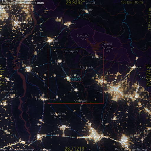
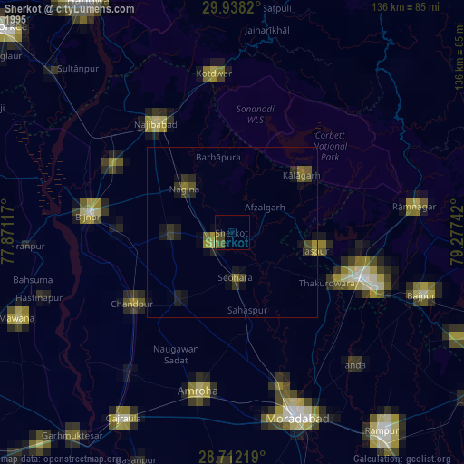
Sherkot night lights from space
Night Light of Sherkot (Uttar Pradesh) from space (India) Src. Average luminocity for 10x10km area is 17.5379% and for 50x50km: 14.1965%.
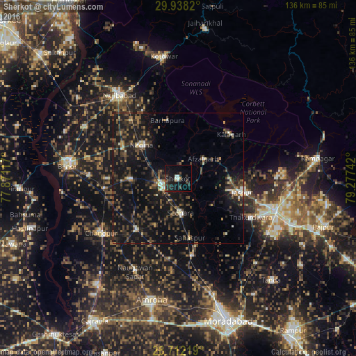

Analysis of Sherkot night lights 2016
Square area 10x10 km:
 0.76%
0.76%90-99
3.41%80-89
0.38%70-79
1.89%60-69
0.38%50-59
0.38%40-49
5.49%30-39
4.17%20-29
6.44%10-19
26.52%0-9
50.19%Square area 50x50 km:
0.42%90-99
1.41%80-89
0.78%70-79
0.93%60-69
1.53%50-59
2.09%40-49
4.43%30-39
4.29%20-29
6.02%10-19
18.71%0-9
59.39%Clear (daylight) street map image can be seen on geolist.org.
Map coordinates:
29° 56' 17.5" North, 77° 52' 16.2" East
29° 19' 37.3" North, 78° 34' 27.4" East
28° 42' 43.9" North, 79° 16' 38.7" East
Some cities around Sherkot sort by population:
• Nagīna
18.7 km =11.6 mi,  314°
314°
• Dhāmpur
6.5 km =4 mi,  251°
251°
• Nihtaur
18.1 km =11.2 mi,  268°
268°
• Seohāra
13.2 km =8.2 mi,  174°
174°
• Jaspur
25.2 km =15.7 mi,  102°
102°
• Afzalgarh
12.2 km =7.6 mi,  52°
52°
• Sahaspur
23.4 km =14.5 mi, 168°
• Tājpur
20.3 km =12.6 mi,  205°
205°
1256569 (p: 57,361)
Sources (retrieved 2019-11-25):
» NASA, Earths city lights 1995
» NASA city lights 2003
» Earth at Night: Flat Maps 2012, 2016