Jalesar night lights from space
Night Light of Jalesar (Uttar Pradesh) from space (India) Src. Average luminocity for 10x10km area is 26.6845% and for 50x50km: 11.4564%.
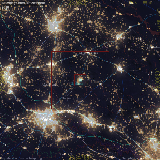
Analysis of Jalesar night lights 2016
Square area 10x10 km:
 1.19%
1.19%90-99
1.19%80-89
4.56%70-79
1.19%60-69
9.33%50-59
3.37%40-49
6.15%30-39
4.76%20-29
2.98%10-19
38.1%0-9
27.18%Square area 50x50 km:
0.25%90-99
0.6%80-89
0.73%70-79
0.51%60-69
1.65%50-59
2.13%40-49
3.25%30-39
3.94%20-29
5.69%10-19
11.51%0-9
69.76%Clear (daylight) street map image can be seen on geolist.org.
Map coordinates:
28° 5' 42.8" North, 77° 35' 59.9" East
27° 28' 23.3" North, 78° 18' 11.2" East
26° 50' 51.2" North, 79° 0' 22.4" East
Some cities around Jalesar sort by population:
• Fīrozābād
37 km =23 mi,  165°
165°
• Hāthras
28.2 km =17.5 mi,  298°
298°
• Tūndla
29.5 km =18.3 mi,  192°
192°
• Sikandra Rao
25.1 km =15.6 mi,  17°
17°
• Sadābād
26.5 km =16.5 mi,  261°
261°
• Itimādpur
28.4 km =17.6 mi,  201°
201°
• Sāsni
33.5 km =20.8 mi,  319°
319°
• Pharihā
23.7 km =14.7 mi,  135°
135°
1269415 (p: 38,614)
Sources (retrieved 2019-11-25):
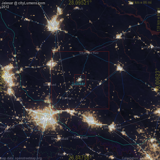
» Earth at Night: Flat Maps 2012, 2016