Fīrozābād night lights from space
Night Light of Fīrozābād (Uttar Pradesh) from space (India) Src. Average luminocity for 10x10km area is 72.8333% and for 50x50km: 15.5148%.
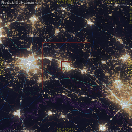
Analysis of Fīrozābād night lights 2016
Square area 10x10 km:
 12.31%
90-99
20.83%80-89
20.08%70-79
8.33%60-69
7.77%50-59
6.63%40-49
10.04%30-39
7.77%20-29
5.87%10-19
0.38%0-9
0%Square area 50x50 km:
0.96%90-99
1.74%80-89
1.69%70-79
1.36%60-69
1.81%50-59
2.32%40-49
3.89%30-39
3.67%20-29
6.28%10-19
14.85%0-9
61.44%Clear (daylight) street map image can be seen on geolist.org.
Map coordinates:
27° 46' 29.3" North, 77° 41' 40.9" East
27° 9' 3.3" North, 78° 23' 52.1" East
26° 31' 24.7" North, 79° 6' 3.4" East
Some cities around Fīrozābād sort by population:
• Shikohābād
19.3 km =12 mi,  104°
104°
• Tūndla
17.4 km =10.8 mi,  293°
293°
• Sirsāganj
30.4 km =18.9 mi,  110°
110°
• Itimādpur
21.9 km =13.6 mi,  295°
295°
• Fatehābād
16.7 km =10.4 mi,  214°
214°
• Pināhat
29.7 km =18.5 mi,  184°
184°
• Jasrāna
26.9 km =16.7 mi,  69°
69°
• Pharihā
20.4 km =12.7 mi,  21°
21°
1271885 (p: 306,409)
Sources (retrieved 2019-11-25):
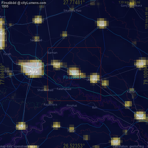
» NASA, Earths city lights 1995
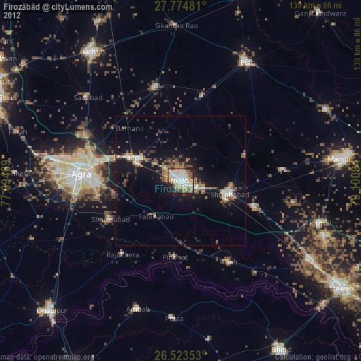
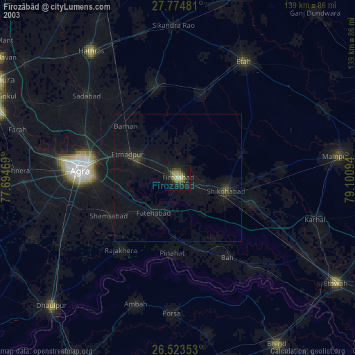
» NASA city lights 2003
» Earth at Night: Flat Maps 2012, 2016