Itimādpur night lights from space
Night Light of Itimādpur (Uttar Pradesh) from space (India) Src. Average luminocity for 10x10km area is 36.3561% and for 50x50km: 28.3333%.
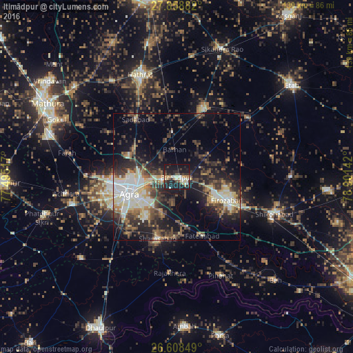
Analysis of Itimādpur night lights 2016
Square area 10x10 km:
 4.73%
4.73%90-99
5.87%80-89
6.06%70-79
2.84%60-69
4.36%50-59
1.52%40-49
5.3%30-39
4.55%20-29
19.32%10-19
40.91%0-9
4.55%Square area 50x50 km:
4.14%90-99
4.98%80-89
3.93%70-79
1.94%60-69
3.21%50-59
3.77%40-49
5.69%30-39
6.47%20-29
9.13%10-19
14.76%0-9
41.97%Clear (daylight) street map image can be seen on geolist.org.
Map coordinates:
27° 51' 31.8" North, 77° 29' 42.6" East
27° 14' 7.5" North, 78° 11' 53.8" East
26° 36' 30.6" North, 78° 54' 5.1" East
Some cities around Itimādpur sort by population:
• Agra
18.9 km =11.7 mi,  252°
252°
• Fīrozābād
21.9 km =13.6 mi,  115°
115°
• Tūndla
4.5 km =2.8 mi, 121°
• Jalesar
28.4 km =17.6 mi,  21°
21°
• Sadābād
27.6 km =17.1 mi,  324°
324°
• Shamsābād
25.4 km =15.8 mi,  196°
196°
• Fatehābād
25.4 km =15.8 mi,  156°
156°
• Pharihā
28.8 km =17.9 mi,  70°
70°
1269646 (p: 22,697)
Sources (retrieved 2019-11-25):
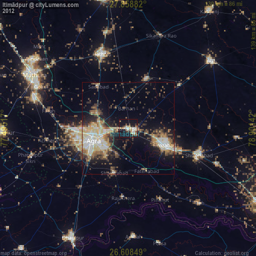
» Earth at Night: Flat Maps 2012, 2016