Hāthras night lights from space
Night Light of Hāthras (Uttar Pradesh) from space (India) Src. Average luminocity for 10x10km area is 55.3671% and for 50x50km: 16.5355%.
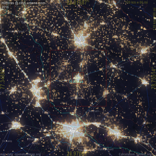
Analysis of Hāthras night lights 2016
Square area 10x10 km:
 4.37%
4.37%90-99
13.1%80-89
13.49%70-79
3.77%60-69
8.53%50-59
11.9%40-49
7.54%30-39
11.11%20-29
16.47%10-19
9.72%0-9
0%Square area 50x50 km:
0.32%90-99
0.73%80-89
0.9%70-79
0.88%60-69
2.13%50-59
3.84%40-49
4.99%30-39
6.06%20-29
7.42%10-19
17.42%0-9
55.3%Clear (daylight) street map image can be seen on geolist.org.
Map coordinates:
28° 13' 0.7" North, 77° 20' 56" East
27° 35' 43.8" North, 78° 3' 7.2" East
26° 58' 14.2" North, 78° 45' 18.5" East
Some cities around Hāthras sort by population:
• Jalesar
28.2 km =17.5 mi,  118°
118°
• Sadābād
17.6 km =10.9 mi,  184°
184°
• Rāya
26.2 km =16.3 mi,  260°
260°
• Iglās
17 km =10.6 mi,  319°
319°
• Sāsni
12.3 km =7.6 mi,  14°
14°
• Mursān
11.1 km =6.9 mi, 259°
• Baldev
30.9 km =19.2 mi,  227°
227°
• Beswān
17.6 km =10.9 mi,  285°
285°
1270216 (p: 126,882)
Sources (retrieved 2019-11-25):
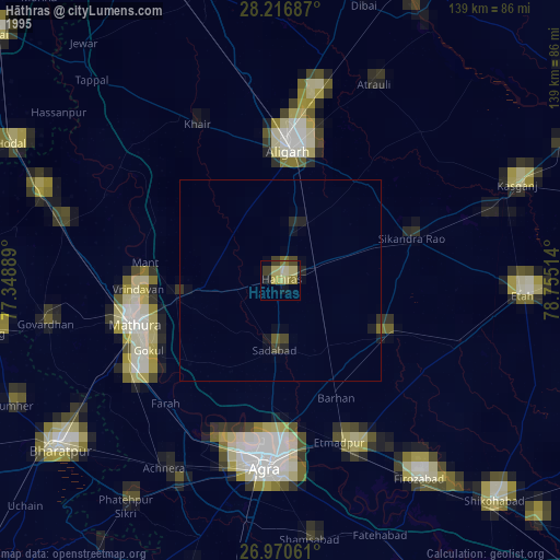
» NASA, Earths city lights 1995
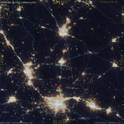
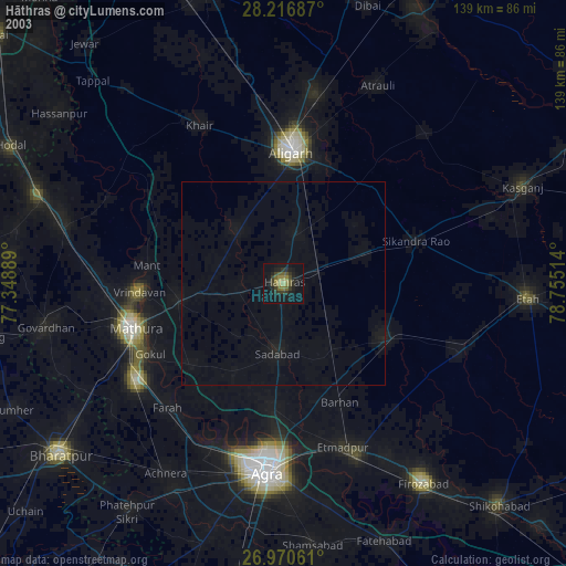
» NASA city lights 2003
» Earth at Night: Flat Maps 2012, 2016