Husainābād night lights from space
Night Light of Husainābād (Jharkhand) from space (India) Src. Average luminocity for 10x10km area is 35.0853% and for 50x50km: 9.2255%.
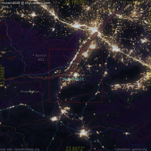
Analysis of Husainābād night lights 2016
Square area 10x10 km:
 3.37%
3.37%90-99
4.17%80-89
0.99%70-79
3.37%60-69
4.17%50-59
6.15%40-49
12.3%30-39
12.1%20-29
11.71%10-19
35.71%0-9
5.95%Square area 50x50 km:
0.68%90-99
0.93%80-89
0.57%70-79
0.77%60-69
0.79%50-59
1.46%40-49
2.19%30-39
2.8%20-29
3.44%10-19
10.38%0-9
75.99%Clear (daylight) street map image can be seen on geolist.org.
Map coordinates:
25° 9' 59.5" North, 83° 17' 48.8" East
24° 31' 42.6" North, 84° 0' 0" East
23° 53' 13.9" North, 84° 42' 11.3" East
Some cities around Husainābād sort by population:
• Dehri
45.5 km =28.3 mi,  23°
23°
• Aurangābād
45.3 km =28.1 mi,  56°
56°
• Daltonganj
54.8 km =34.1 mi,  173°
173°
• Bhabhua
69.4 km =43.1 mi,  325°
325°
• Daudnagar
69.3 km =43.1 mi,  35°
35°
• Garhwa
45.4 km =28.2 mi,  205°
205°
• Nāsriganj
66.9 km =41.6 mi,  29°
29°
• Nabīnagar
15.5 km =9.6 mi, 55°
1269862 (p: 26,184)
Sources (retrieved 2019-11-25):
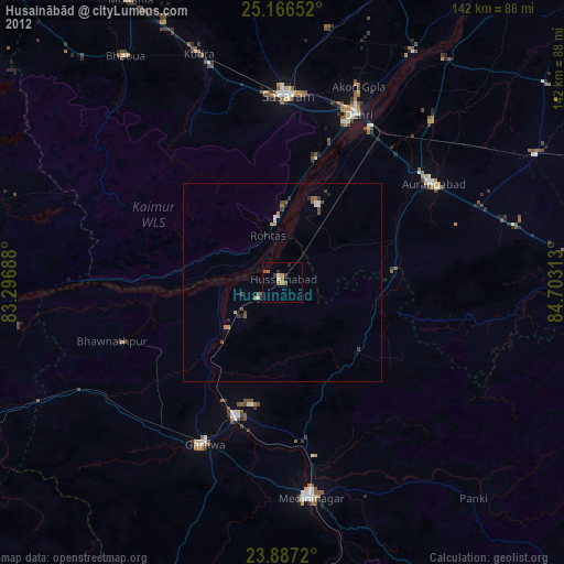
» Earth at Night: Flat Maps 2012, 2016