Nabīnagar night lights from space
Night Light of Nabīnagar (Bihar) from space (India) Src. Average luminocity for 10x10km area is 14.3829% and for 50x50km: 15.3255%.
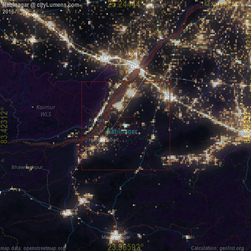
Analysis of Nabīnagar night lights 2016
Square area 10x10 km:
 0.99%
0.99%90-99
1.39%80-89
0.79%70-79
0.79%60-69
1.59%50-59
1.59%40-49
2.38%30-39
4.56%20-29
3.97%10-19
11.11%0-9
70.83%Square area 50x50 km:
1.28%90-99
1.71%80-89
0.96%70-79
1.57%60-69
1.47%50-59
2.42%40-49
3.8%30-39
4.51%20-29
7.2%10-19
13.78%0-9
61.29%Clear (daylight) street map image can be seen on geolist.org.
Map coordinates:
25° 14' 40" North, 83° 25' 23.2" East
24° 36' 24.5" North, 84° 7' 34.5" East
23° 57' 57.3" North, 84° 49' 45.7" East
Some cities around Nabīnagar sort by population:
• Dehri
33.4 km =20.8 mi,  9°
9°
• Aurangābād
29.8 km =18.5 mi,  57°
57°
• Daltonganj
63.4 km =39.4 mi,  185°
185°
• Daudnagar
55.1 km =34.2 mi,  30°
30°
• Garhwa
59.2 km =36.8 mi,  213°
213°
• Rafiganj
56.4 km =35 mi,  65°
65°
• Husainābād
15.5 km =9.6 mi,  235°
235°
• Nāsriganj
53.5 km =33.2 mi,  22°
22°
1262318 (p: 20,848)
Sources (retrieved 2019-11-25):
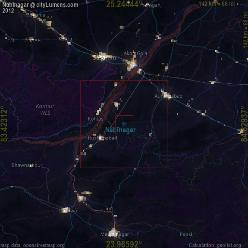
» Earth at Night: Flat Maps 2012, 2016