Nāsriganj night lights from space
Night Light of Nāsriganj (Bihar) from space (India) Src. Average luminocity for 10x10km area is 27.9924% and for 50x50km: 25.7502%.
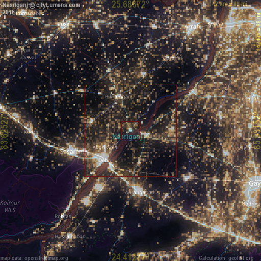
Analysis of Nāsriganj night lights 2016
Square area 10x10 km:
 1.14%
1.14%90-99
1.89%80-89
0%70-79
1.52%60-69
5.11%50-59
5.11%40-49
10.42%30-39
10.42%20-29
13.64%10-19
38.64%0-9
12.12%Square area 50x50 km:
1.33%90-99
2.38%80-89
1.74%70-79
1.96%60-69
2.95%50-59
5.23%40-49
6.5%30-39
9.48%20-29
15.32%10-19
25.08%0-9
28.03%Clear (daylight) street map image can be seen on geolist.org.
Map coordinates:
25° 41' 12.2" North, 83° 37' 31" East
25° 3' 5" North, 84° 19' 42.2" East
24° 24' 46" North, 85° 1' 53.5" East
Some cities around Nāsriganj sort by population:
• Dehri
22.2 km =13.8 mi,  221°
221°
• Aurangābād
33.6 km =20.9 mi,  172°
172°
• Bikramganj
19.2 km =11.9 mi,  337°
337°
• Daudnagar
7.5 km =4.7 mi,  104°
104°
• Jagdīspur
47.2 km =29.3 mi,  11°
11°
• Piro
32.1 km =19.9 mi, 13°
• Rafiganj
40.4 km =25.1 mi,  130°
130°
• Koāth
31.3 km =19.4 mi,  347°
347°
1261722 (p: 23,286)
Sources (retrieved 2019-11-25):
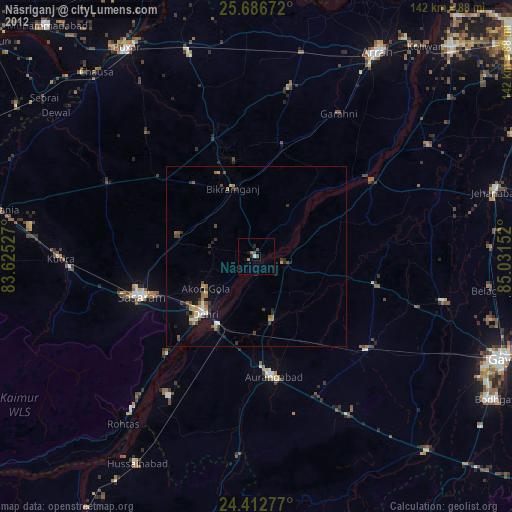
» Earth at Night: Flat Maps 2012, 2016