Bhabhua night lights from space
Night Light of Bhabhua (Bihar) from space (India) Src. Average luminocity for 10x10km area is 27.2746% and for 50x50km: 13.6247%.
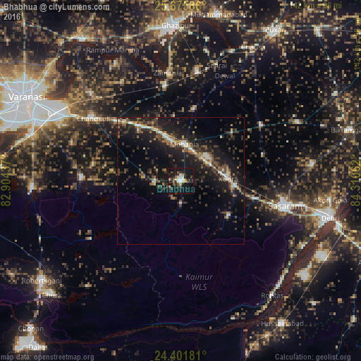
Analysis of Bhabhua night lights 2016
Square area 10x10 km:
 2.65%
2.65%90-99
3.98%80-89
3.22%70-79
2.65%60-69
0.76%50-59
3.6%40-49
4.92%30-39
4.55%20-29
11.74%10-19
46.97%0-9
14.96%Square area 50x50 km:
1.05%90-99
1.27%80-89
0.84%70-79
1.23%60-69
1.45%50-59
2.37%40-49
3.01%30-39
3.36%20-29
6.16%10-19
16.07%0-9
63.19%Clear (daylight) street map image can be seen on geolist.org.
Map coordinates:
25° 40' 33.1" North, 82° 54' 15.7" East
25° 2' 25.8" North, 83° 36' 27" East
24° 24' 6.5" North, 84° 18' 38.2" East
Some cities around Bhabhua sort by population:
• Dehri
59.9 km =37.2 mi,  104°
104°
• Ghazīpur
60.4 km =37.5 mi,  357°
357°
• Mughal Sarāi
56 km =34.8 mi,  298°
298°
• Rāmnagar
63.5 km =39.5 mi,  293°
293°
• Zamānia
42.4 km =26.3 mi,  353°
353°
• Ahraura
58 km =36 mi,  267°
267°
• Chandauli
41.8 km =26 mi,  305°
305°
• Chakia
38.9 km =24.2 mi, 271°
1276371 (p: 48,641)
Sources (retrieved 2019-11-25):
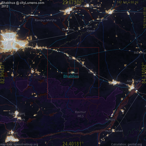
» Earth at Night: Flat Maps 2012, 2016