Dehri night lights from space
Night Light of Dehri (Bihar) from space (India) Src. Average luminocity for 10x10km area is 69.0114% and for 50x50km: 29.8046%.
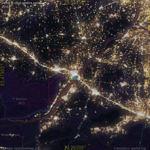

Analysis of Dehri night lights 2016
Square area 10x10 km:
 17.61%
90-99
24.81%80-89
5.87%70-79
3.6%60-69
5.68%50-59
10.42%40-49
5.11%30-39
15.34%20-29
11.55%10-19
0%0-9
0%Square area 50x50 km:
2.84%90-99
3.97%80-89
1.86%70-79
2.29%60-69
3.01%50-59
5.58%40-49
7.62%30-39
10.01%20-29
15.79%10-19
24.33%0-9
22.71%Clear (daylight) street map image can be seen on geolist.org.
Map coordinates:
25° 32' 18.8" North, 83° 28' 44.6" East
24° 54' 8.9" North, 84° 10' 55.8" East
24° 15' 47.1" North, 84° 53' 7.1" East
Some cities around Dehri sort by population:
• Aurangābād
25.6 km =15.9 mi,  130°
130°
• Bikramganj
35.1 km =21.8 mi,  12°
12°
• Daudnagar
26.5 km =16.5 mi,  56°
56°
• Rafiganj
46.6 km =29 mi,  101°
101°
• Husainābād
45.5 km =28.3 mi,  203°
203°
• Nāsriganj
22.2 km =13.8 mi,  41°
41°
• Nabīnagar
33.4 km =20.8 mi,  189°
189°
• Koāth
47.8 km =29.7 mi, 9°
1273309 (p: 129,938)
Sources (retrieved 2019-11-25):
» NASA, Earths city lights 1995
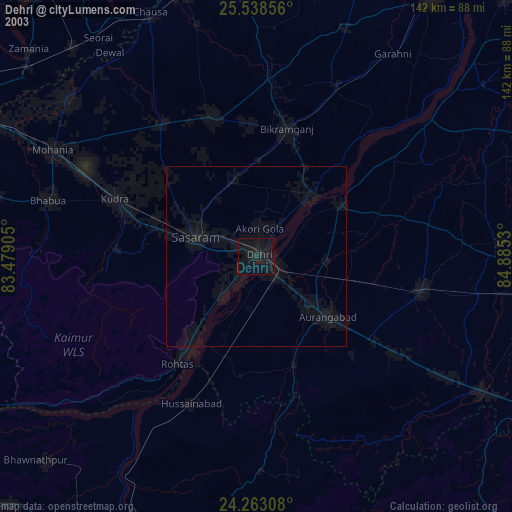
» NASA city lights 2003
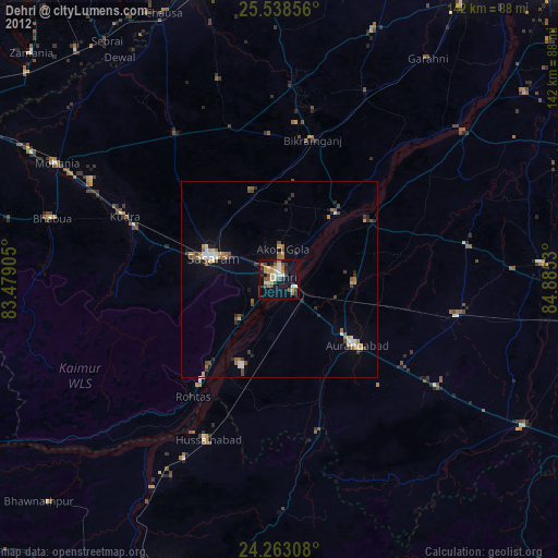
» Earth at Night: Flat Maps 2012, 2016