Harūr night lights from space
Night Light of Harūr (Tamil Nadu) from space (India) Src. Average luminocity for 10x10km area is 4.6632% and for 50x50km: 0.9323%.
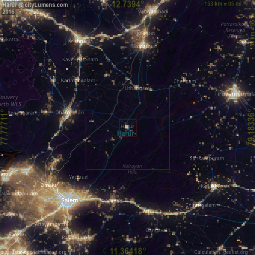
Analysis of Harūr night lights 2016
Square area 10x10 km:
 0%
0%90-99
0%80-89
0.21%70-79
1.65%60-69
1.45%50-59
0%40-49
0%30-39
2.07%20-29
2.89%10-19
0.83%0-9
90.91%Square area 50x50 km:
0%90-99
0%80-89
0.04%70-79
0.08%60-69
0.2%50-59
0.14%40-49
0.46%30-39
0.45%20-29
0.37%10-19
0.2%0-9
98.04%Clear (daylight) street map image can be seen on geolist.org.
Map coordinates:
12° 44' 21.8" North, 77° 46' 37.6" East
12° 3' 9.6" North, 78° 28' 48.8" East
11° 21' 51" North, 79° 11' 0.1" East
Some cities around Harūr sort by population:
• Dharmapuri
36 km =22.4 mi,  283°
283°
• Pallippatti
15.2 km =9.4 mi,  214°
214°
• Chengam
44.2 km =27.5 mi,  49°
49°
• Mallāpuram
26.4 km =16.4 mi,  252°
252°
• Pāppārappatti
49.4 km =30.7 mi,  292°
292°
• Belūr
39 km =24.2 mi,  190°
190°
• Pāpireddippatti
19.3 km =12 mi,  218°
218°
• Kunnattūr
33 km =20.5 mi,  5°
5°
1270265 (p: 20,405)
Sources (retrieved 2019-11-25):
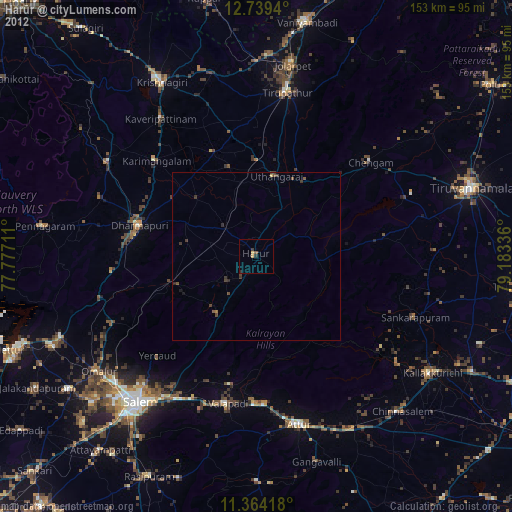
» Earth at Night: Flat Maps 2012, 2016