Chengam night lights from space
Night Light of Chengam (Tamil Nadu) from space (India) Src. Average luminocity for 10x10km area is 8.3636% and for 50x50km: 4.162%.
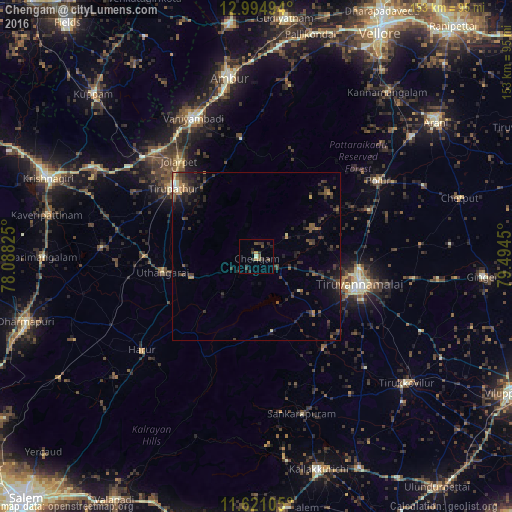
Analysis of Chengam night lights 2016
Square area 10x10 km:
 0%
0%90-99
0.83%80-89
0%70-79
1.65%60-69
0.41%50-59
1.24%40-49
2.89%30-39
5.37%20-29
3.31%10-19
1.03%0-9
83.26%Square area 50x50 km:
0.07%90-99
0.19%80-89
0.19%70-79
0.33%60-69
0.53%50-59
0.8%40-49
1.05%30-39
1.96%20-29
2.1%10-19
2.93%0-9
89.86%Clear (daylight) street map image can be seen on geolist.org.
Map coordinates:
12° 59' 41.8" North, 78° 5' 17.7" East
12° 18' 32" North, 78° 47' 28.9" East
11° 37' 15.8" North, 79° 29' 40.2" East
Some cities around Chengam sort by population:
• Tiruvannāmalai
32.1 km =19.9 mi,  106°
106°
• Vaniyambadi
45.4 km =28.2 mi,  335°
335°
• Jalārpet
37.5 km =23.3 mi,  320°
320°
• Polūr
42.6 km =26.5 mi,  57°
57°
• Harūr
44.2 km =27.5 mi,  229°
229°
• Alangāyam
35.1 km =21.8 mi,  353°
353°
• Manalūrpettai
46.8 km =29.1 mi,  135°
135°
• Kunnattūr
30.8 km =19.1 mi,  278°
278°
1274429 (p: 23,904)
Sources (retrieved 2019-11-25):
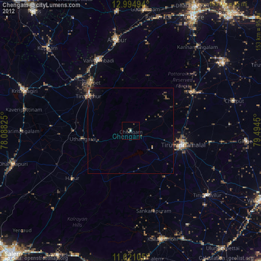
» Earth at Night: Flat Maps 2012, 2016