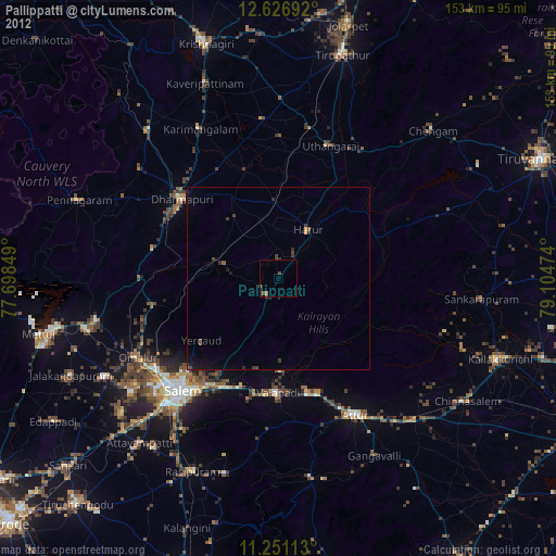
Pallippatti night lights from space
Night Light of Pallippatti (Tamil Nadu) from space (India) Src. Average luminocity for 10x10km area is 2.345% and for 50x50km: 1.9352%.
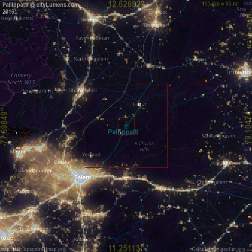
Analysis of Pallippatti night lights 2016
Square area 10x10 km:
 0%
0%90-99
0%80-89
0%70-79
0%60-69
0.21%50-59
0.21%40-49
2.07%30-39
1.65%20-29
1.24%10-19
0.41%0-9
94.21%Square area 50x50 km:
0%90-99
0.01%80-89
0.04%70-79
0.14%60-69
0.16%50-59
0.35%40-49
0.81%30-39
0.8%20-29
1.08%10-19
2.11%0-9
94.49%Clear (daylight) street map image can be seen on geolist.org.
Map coordinates:
12° 37' 36.9" North, 77° 41' 54.6" East
11° 56' 23.6" North, 78° 24' 5.8" East
11° 15' 4.1" North, 79° 6' 17.1" East
Some cities around Pallippatti sort by population:
• Salem
41.6 km =25.8 mi,  220°
220°
• Dharmapuri
33.7 km =20.9 mi,  308°
308°
• Attur
44.2 km =27.5 mi,  150°
150°
• Harūr
15.2 km =9.4 mi,  34°
34°
• Omalur
44.6 km =27.7 mi,  240°
240°
• Mallāpuram
17.4 km =10.8 mi,  285°
285°
• Belūr
25.9 km =16.1 mi,  176°
176°
• Pāpireddippatti
4.4 km =2.7 mi, 235°
1260681 (p: 26,492)
Sources (retrieved 2019-11-25):
» Earth at Night: Flat Maps 2012, 2016