Sūlūru night lights from space
Night Light of Sūlūru (Andhra Pradesh) from space (India) Src. Average luminocity for 10x10km area is 26.781% and for 50x50km: 8.2922%.
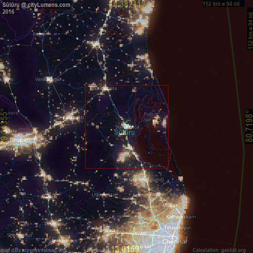
Analysis of Sūlūru night lights 2016
Square area 10x10 km:
 0.41%
0.41%90-99
5.99%80-89
5.17%70-79
3.31%60-69
3.72%50-59
2.89%40-49
2.69%30-39
4.75%20-29
3.93%10-19
32.23%0-9
34.92%Square area 50x50 km:
0.15%90-99
1.16%80-89
1.17%70-79
0.83%60-69
1%50-59
1.42%40-49
1.81%30-39
1.38%20-29
1.92%10-19
9.01%0-9
80.16%Clear (daylight) street map image can be seen on geolist.org.
Map coordinates:
14° 22' 55.6" North, 79° 18' 48.8" East
13° 42' 0" North, 80° 1' 0" East
13° 0' 57.2" North, 80° 43' 11.3" East
Some cities around Sūlūru sort by population:
• Gūdūr
53.2 km =33.1 mi,  340°
340°
• Nāyudupet
26.6 km =16.5 mi,  330°
330°
• Venkatagiri
55.3 km =34.4 mi,  301°
301°
• Renigunta
54.7 km =34 mi,  264°
264°
• Ponneri
44.6 km =27.7 mi,  154°
154°
• Mīnjūr
53.6 km =33.3 mi, 150°
• Gummidipundi
34 km =21.1 mi,  162°
162°
• Puduvāyal
43.4 km =27 mi, 161°
1255483 (p: 38,065)
Sources (retrieved 2019-11-25):
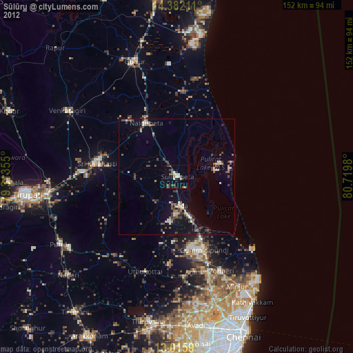
» Earth at Night: Flat Maps 2012, 2016