Dabwāli night lights from space
Night Light of Dabwāli (Haryana) from space (India) Src. Average luminocity for 10x10km area is 11.911% and for 50x50km: 9.2985%.
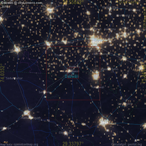
Analysis of Dabwāli night lights 2016
Square area 10x10 km:
 0%
0%90-99
3.03%80-89
1.52%70-79
1.33%60-69
0.19%50-59
2.65%40-49
2.08%30-39
2.08%20-29
3.22%10-19
4.17%0-9
79.73%Square area 50x50 km:
0.37%90-99
1.1%80-89
0.52%70-79
0.82%60-69
1.15%50-59
2.11%40-49
2.37%30-39
2.15%20-29
2.66%10-19
5.67%0-9
81.09%Clear (daylight) street map image can be seen on geolist.org.
Map coordinates:
30° 33' 23.1" North, 74° 2' 6.7" East
29° 56' 56.6" North, 74° 44' 18" East
29° 20' 16.7" North, 75° 26' 29.2" East
Some cities around Dabwāli sort by population:
• Bathinda
34.6 km =21.5 mi,  33°
33°
• Sirsa
53.9 km =33.5 mi,  148°
148°
• Malaut
38.2 km =23.7 mi,  319°
319°
• Giddarbāha
28.7 km =17.8 mi,  346°
346°
• Sangariā
31 km =19.3 mi,  237°
237°
• Maur
51.5 km =32 mi,  73°
73°
• Kālānwāli
25.8 km =16 mi,  119°
119°
• Rānia
48.2 km =30 mi,  168°
168°
1273745 (p: 62,113)
Sources (retrieved 2019-11-25):
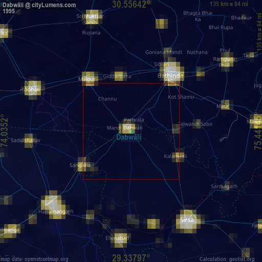
» NASA, Earths city lights 1995
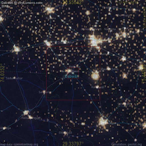
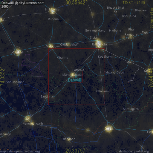
» NASA city lights 2003
» Earth at Night: Flat Maps 2012, 2016