Umarkot night lights from space
Night Light of Umarkot (Chhattisgarh) from space (India) Src. Average luminocity for 10x10km area is 10.093% and for 50x50km: 0.6675%.
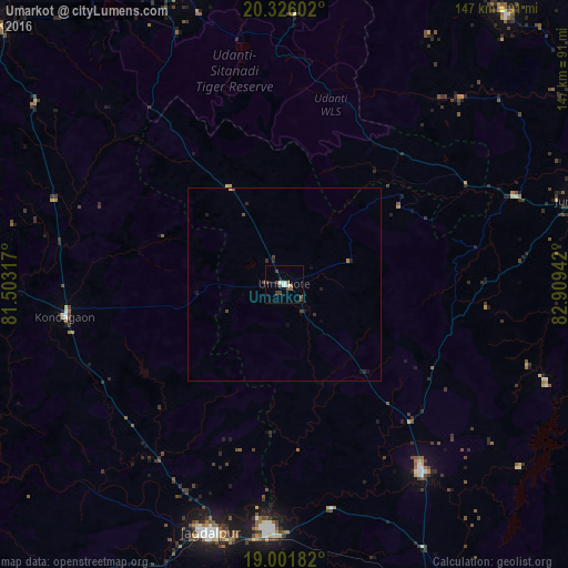
Analysis of Umarkot night lights 2016
Square area 10x10 km:
 2.27%
2.27%90-99
1.03%80-89
0%70-79
0.83%60-69
0.83%50-59
1.65%40-49
4.34%30-39
2.27%20-29
0.21%10-19
1.03%0-9
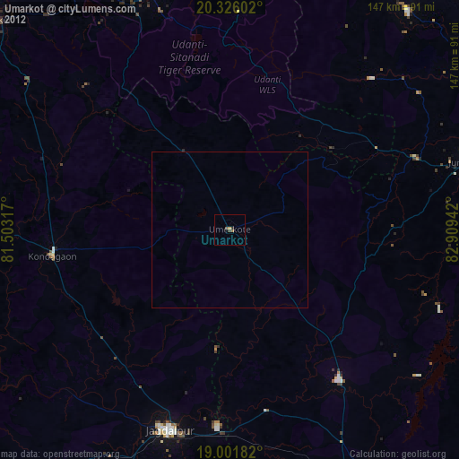
85.54%Square area 50x50 km:
0.09%90-99
0.04%80-89
0.02%70-79
0.05%60-69
0.06%50-59
0.07%40-49
0.32%30-39
0.16%20-29
0.14%10-19
0.3%0-9
98.75%Clear (daylight) street map image can be seen on geolist.org.
Map coordinates:
20° 19' 33.7" North, 81° 30' 11.4" East
19° 39' 55" North, 82° 12' 22.6" East
19° 0' 6.6" North, 82° 54' 33.9" East
Some cities around Umarkot sort by population:
• Nowrangapur
60.1 km =37.3 mi,  143°
143°
• Jeypore
97.8 km =60.8 mi,  156°
156°
• Jagdalpur
67.8 km =42.1 mi,  196°
196°
• Kondagaon
57.4 km =35.7 mi,  261°
261°
• Kānker
100.6 km =62.5 mi,  312°
312°
• Jūnāgarh
79.1 km =49.2 mi,  74°
74°
• Kotapārh
59.4 km =36.9 mi,  167°
167°
• Kharhiāl
90.3 km =56.1 mi,  39°
39°
1253860 (p: 27,545)
Sources (retrieved 2019-11-25):
» Earth at Night: Flat Maps 2012, 2016