Ghugus night lights from space
Night Light of Ghugus (Maharashtra) from space (India) Src. Average luminocity for 10x10km area is 57.7208% and for 50x50km: 25.3659%.
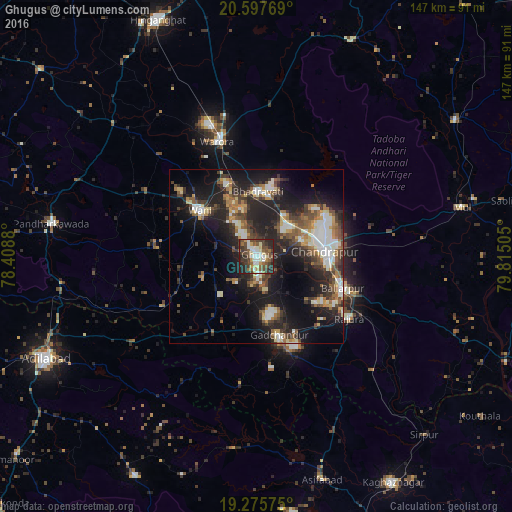
Analysis of Ghugus night lights 2016
Square area 10x10 km:
 8.87%
8.87%90-99
12.77%80-89
6.71%70-79
6.06%60-69
5.63%50-59
10.39%40-49
18.4%30-39
14.29%20-29
14.07%10-19
2.81%0-9
0%Square area 50x50 km:
3.4%90-99
4.17%80-89
2.47%70-79
2.44%60-69
3.12%50-59
4.09%40-49
4.47%30-39
5.5%20-29
9.69%10-19
17.83%0-9
42.81%Clear (daylight) street map image can be seen on geolist.org.
Map coordinates:
20° 35' 51.7" North, 78° 24' 31.7" East
19° 56' 17.2" North, 79° 6' 42.9" East
19° 16' 32.7" North, 79° 48' 54.2" East
Some cities around Ghugus sort by population:
• Chānda
19.2 km =11.9 mi,  85°
85°
• Ballālpur
26.5 km =16.5 mi,  112°
112°
• Wani
21.1 km =13.1 mi,  308°
308°
• Warora
34.3 km =21.3 mi,  340°
340°
• Rājūra
31.8 km =19.8 mi,  123°
123°
• Chāndur
23.5 km =14.6 mi,  164°
164°
• Durgāpur
21.3 km =13.2 mi,  69°
69°
• Rājur
29.9 km =18.6 mi, 310°
1271244 (p: 31,859)
Sources (retrieved 2019-11-25):
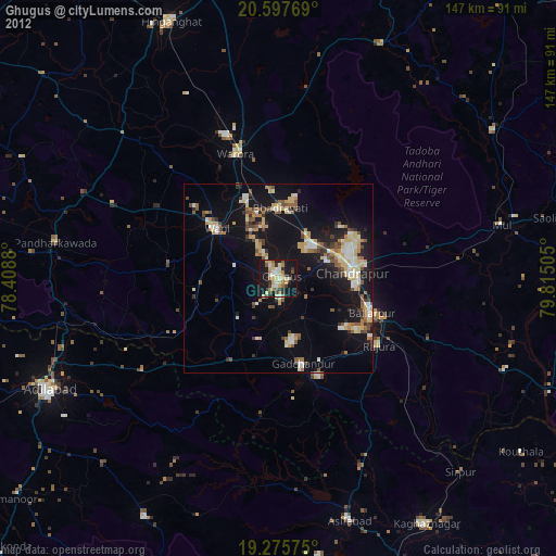
» Earth at Night: Flat Maps 2012, 2016