Durgāpur night lights from space
Night Light of Durgāpur (Maharashtra) from space (India) Src. Average luminocity for 10x10km area is 76.748% and for 50x50km: 19.8935%.
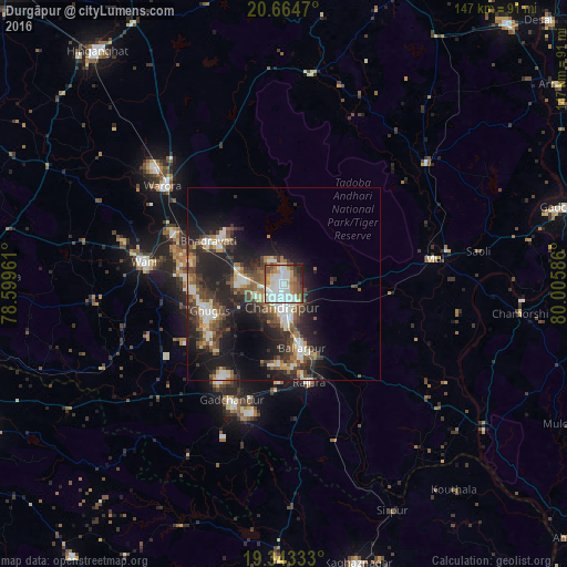
Analysis of Durgāpur night lights 2016
Square area 10x10 km:
 25%
25%90-99
24.6%80-89
4.56%70-79
9.13%60-69
8.73%50-59
7.74%40-49
10.12%30-39
3.37%20-29
5.56%10-19
1.19%0-9
0%Square area 50x50 km:
2.96%90-99
3.49%80-89
1.78%70-79
1.75%60-69
2.26%50-59
3.3%40-49
3.79%30-39
4.25%20-29
7.79%10-19
12.79%0-9
55.83%Clear (daylight) street map image can be seen on geolist.org.
Map coordinates:
20° 39' 52.9" North, 78° 35' 58.6" East
20° 0' 19.4" North, 79° 18' 9.8" East
19° 20' 36" North, 80° 0' 21.1" East
Some cities around Durgāpur sort by population:
• Chānda
6.1 km =3.8 mi,  187°
187°
• Ballālpur
18.2 km =11.3 mi,  165°
165°
• Wani
36.9 km =22.9 mi,  278°
278°
• Warora
40 km =24.9 mi,  308°
308°
• Ghugus
21.3 km =13.2 mi,  249°
249°
• Rājūra
25.9 km =16.1 mi, 165°
• Mūl
39.9 km =24.8 mi,  79°
79°
• Chāndur
33.1 km =20.6 mi,  204°
204°
1272177 (p: 18,561)
Sources (retrieved 2019-11-25):
» Earth at Night: Flat Maps 2012, 2016