Ballālpur night lights from space
Night Light of Ballālpur (Maharashtra) from space (India) Src. Average luminocity for 10x10km area is 50.5065% and for 50x50km: 18.7795%.
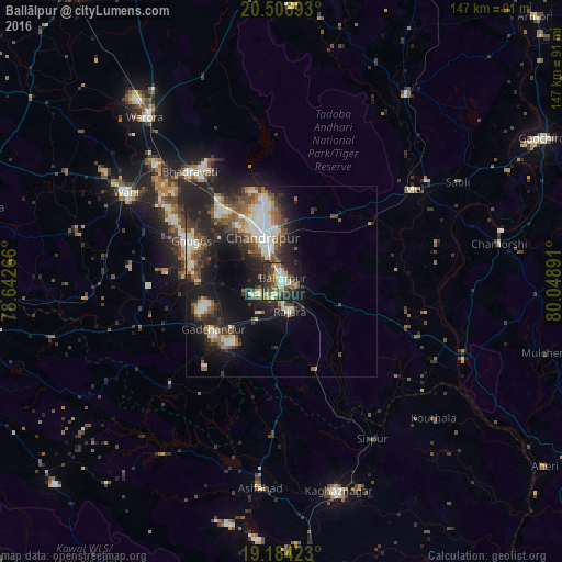
Analysis of Ballālpur night lights 2016
Square area 10x10 km:
 7.36%
7.36%90-99
6.93%80-89
8.23%70-79
5.63%60-69
7.58%50-59
8.87%40-49
8.66%30-39
14.72%20-29
20.78%10-19
11.04%0-9
0.22%Square area 50x50 km:
2.79%90-99
3.32%80-89
1.72%70-79
1.5%60-69
2.38%50-59
3.12%40-49
3.21%30-39
3.82%20-29
6.97%10-19
12.67%0-9
58.51%Clear (daylight) street map image can be seen on geolist.org.
Map coordinates:
20° 30' 24.9" North, 78° 38' 33.6" East
19° 50' 49.1" North, 79° 20' 44.8" East
19° 11' 3.2" North, 80° 2' 56.1" East
Some cities around Ballālpur sort by population:
• Chānda
12.7 km =7.9 mi,  335°
335°
• Wani
47.1 km =29.3 mi,  299°
299°
• Ghugus
26.5 km =16.5 mi,  292°
292°
• Rājūra
7.8 km =4.8 mi,  165°
165°
• Mūl
42.7 km =26.5 mi,  54°
54°
• Chāndur
22.1 km =13.7 mi,  235°
235°
• Durgāpur
18.2 km =11.3 mi,  345°
345°
• Sirpur
47.4 km =29.5 mi,  149°
149°
1277557 (p: 92,146)
Sources (retrieved 2019-11-25):
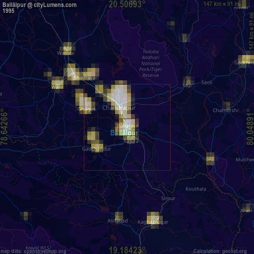
» NASA, Earths city lights 1995
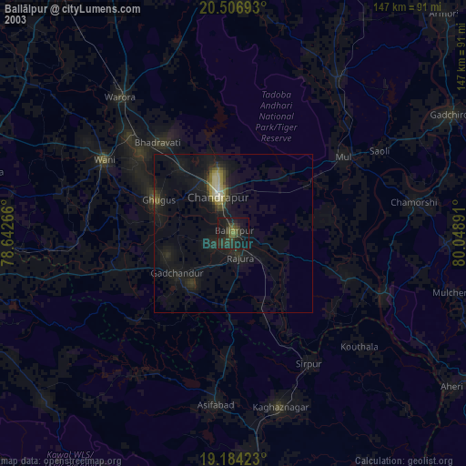
» NASA city lights 2003
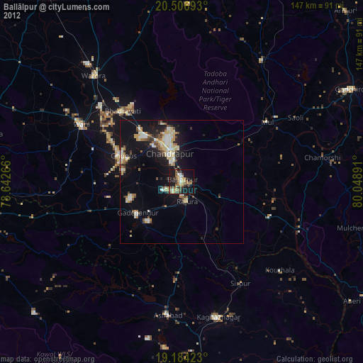
» Earth at Night: Flat Maps 2012, 2016