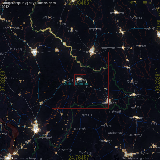
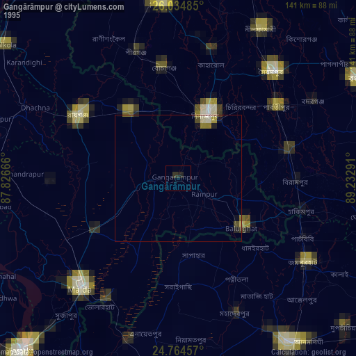
Gangārāmpur night lights from space
Night Light of Gangārāmpur (West Bengal) from space (India) Src. Average luminocity for 10x10km area is 20.8373% and for 50x50km: 5.5037%.


Analysis of Gangārāmpur night lights 2016
Square area 10x10 km:
 2.18%
2.18%90-99
2.98%80-89
2.78%70-79
0.79%60-69
3.37%50-59
2.98%40-49
1.59%30-39
6.35%20-29
4.37%10-19
13.69%0-9
58.93%Square area 50x50 km:
0.42%90-99
0.48%80-89
0.36%70-79
0.39%60-69
0.6%50-59
1.06%40-49
1.5%30-39
1.42%20-29
1.67%10-19
3.54%0-9
88.57%Clear (daylight) street map image can be seen on geolist.org.
Map coordinates:
26° 2' 5.5" North, 87° 49' 36" East
25° 24' 5" North, 88° 31' 47.2" East
24° 45' 52.5" North, 89° 13' 58.5" East
Some cities around Gangārāmpur sort by population:
• Dinājpur, BD
27.4 km =17 mi,  23°
23°
• Saidpur, BD
55.4 km =34.4 mi,  40°
40°
• Rāiganj
47 km =29.2 mi,  300°
300°
• Bālurghāt
32 km =19.9 mi,  128°
128°
• Kāliyāganj
33 km =20.5 mi,  321°
321°
• Parbatipur, BD
49.7 km =30.9 mi,  54°
54°
• Pīrgaaj, BD
53.3 km =33.1 mi,  341°
341°
• Daulatpur
21.8 km =13.5 mi,  247°
247°
1271670 (p: 65,316)
Sources (retrieved 2019-11-25):
» NASA, Earths city lights 1995
» NASA city lights 2003
» Earth at Night: Flat Maps 2012, 2016