Bālurghāt night lights from space
Night Light of Bālurghāt (West Bengal) from space (India) Src. Average luminocity for 10x10km area is 38.8631% and for 50x50km: 7.0048%.
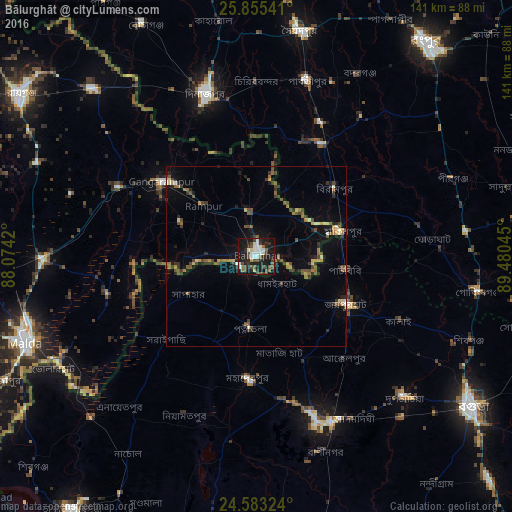
Analysis of Bālurghāt night lights 2016
Square area 10x10 km:
 7.74%
7.74%90-99
7.94%80-89
2.38%70-79
1.19%60-69
2.38%50-59
6.75%40-49
10.12%30-39
6.15%20-29
11.11%10-19
40.67%0-9
3.57%Square area 50x50 km:
0.37%90-99
0.64%80-89
0.63%70-79
0.62%60-69
0.97%50-59
1.39%40-49
1.67%30-39
1.48%20-29
1.62%10-19
4.08%0-9
86.53%Clear (daylight) street map image can be seen on geolist.org.
Map coordinates:
25° 51' 19.5" North, 88° 4' 27.1" East
25° 13' 15.6" North, 88° 46' 38.4" East
24° 34' 59.7" North, 89° 28' 49.6" East
Some cities around Bālurghāt sort by population:
• Shibganj, BD
60.1 km =37.3 mi,  113°
113°
• Dinājpur, BD
47.3 km =29.4 mi,  342°
342°
• Pār Naogaon, BD
49.5 km =30.8 mi,  159°
159°
• Joypur Hāt, BD
28.5 km =17.7 mi,  117°
117°
• Gangārāmpur
32 km =19.9 mi,  308°
308°
• Parbatipur, BD
51.6 km =32.1 mi,  17°
17°
• Badarganj, BD
57.5 km =35.7 mi,  28°
28°
• Daulatpur
46.5 km =28.9 mi,  284°
284°
1277508 (p: 141,404)
Sources (retrieved 2019-11-25):
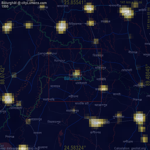
» NASA, Earths city lights 1995
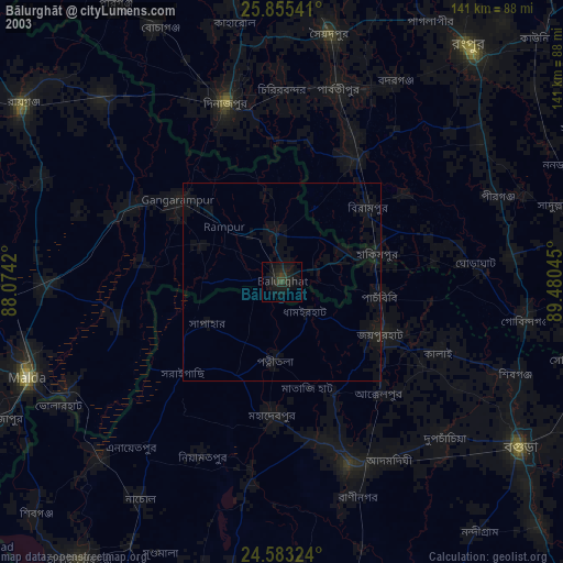
» NASA city lights 2003
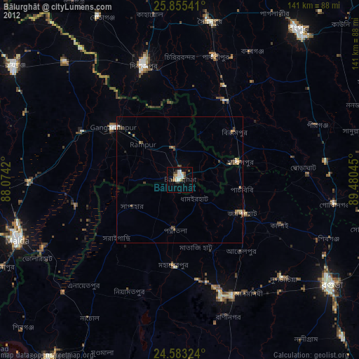
» Earth at Night: Flat Maps 2012, 2016