Parbatipur night lights from space
Night Light of Parbatipur (Rangpur Division) from space (Bangladesh) Src. Average luminocity for 10x10km area is 9.1155% and for 50x50km: 3.1986%.
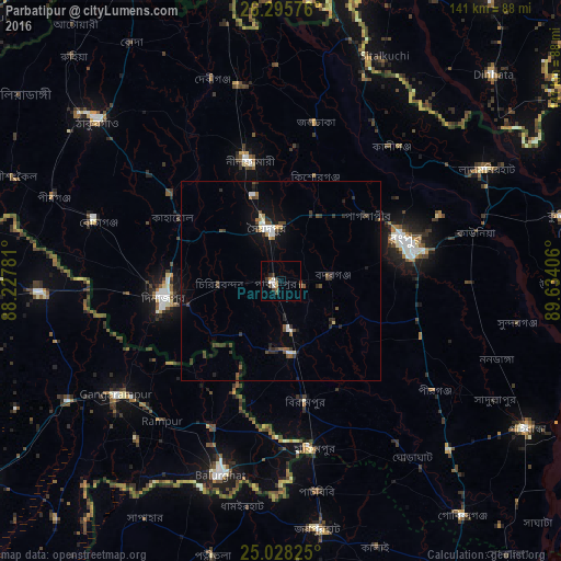
Analysis of Parbatipur night lights 2016
Square area 10x10 km:
 0.95%
0.95%90-99
2.08%80-89
0.38%70-79
0.38%60-69
1.33%50-59
1.33%40-49
1.7%30-39
2.65%20-29
1.33%10-19
0.76%0-9
87.12%Square area 50x50 km:
0.27%90-99
0.47%80-89
0.15%70-79
0.13%60-69
0.29%50-59
0.4%40-49
0.86%30-39
0.9%20-29
0.8%10-19
1.62%0-9
94.1%Clear (daylight) street map image can be seen on geolist.org.
Map coordinates:
26° 17' 44.7" North, 88° 13' 40.1" East
25° 39' 49.3" North, 88° 55' 51.3" East
25° 1' 41.7" North, 89° 38' 2.6" East
Some cities around Parbatipur sort by population:
• Rangpur
33.4 km =20.8 mi,  73°
73°
• Dinājpur
29.7 km =18.5 mi,  262°
262°
• Saidpur
13.3 km =8.3 mi,  342°
342°
• Bālurghāt, IN
51.6 km =32.1 mi,  197°
197°
• Gangārāmpur, IN
49.7 km =30.9 mi,  234°
234°
• Lalmonirhat
58.8 km =36.5 mi,  61°
61°
• Kāliyāganj, IN
60.7 km =37.7 mi,  266°
266°
• Badarganj
12.4 km =7.7 mi,  84°
84°
1185149 (p: 48,020)
Sources (retrieved 2019-11-25):
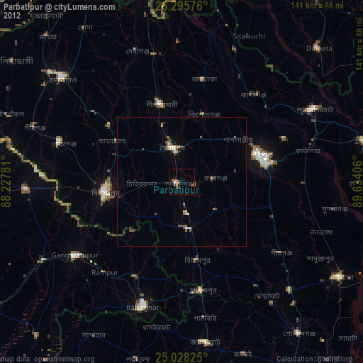
» Earth at Night: Flat Maps 2012, 2016