Saidpur night lights from space
Night Light of Saidpur (Rajshahi Division) from space (Bangladesh) Src. Average luminocity for 10x10km area is 24.9811% and for 50x50km: 4.184%.
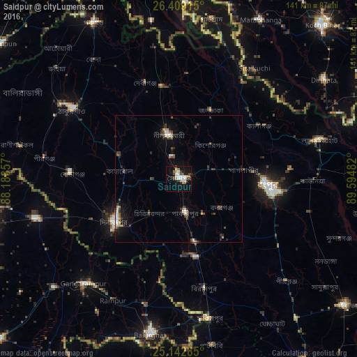
Analysis of Saidpur night lights 2016
Square area 10x10 km:
 3.22%
3.22%90-99
6.63%80-89
1.52%70-79
2.84%60-69
3.41%50-59
1.33%40-49
4.36%30-39
2.65%20-29
1.89%10-19
24.05%0-9
48.11%Square area 50x50 km:
0.47%90-99
0.69%80-89
0.41%70-79
0.19%60-69
0.34%50-59
0.5%40-49
0.9%30-39
0.97%20-29
0.83%10-19
2.51%0-9
92.18%Clear (daylight) street map image can be seen on geolist.org.
Map coordinates:
26° 24' 32.9" North, 88° 11' 18.9" East
25° 46' 39.7" North, 88° 53' 30.1" East
25° 8' 34.3" North, 89° 35' 41.4" East
Some cities around Saidpur sort by population:
• Rangpur
36.2 km =22.5 mi,  95°
95°
• Dinājpur
30.4 km =18.9 mi,  236°
236°
• Thākurgaon
50.7 km =31.5 mi,  303°
303°
• Gangārāmpur, IN
55.4 km =34.4 mi,  220°
220°
• Lalmonirhat
57.6 km =35.8 mi,  74°
74°
• Parbatipur
13.3 km =8.3 mi,  162°
162°
• Pīrgaaj
54 km =33.6 mi,  279°
279°
• Badarganj
19.9 km =12.4 mi,  125°
125°
6545349 (p: 199,422)
Sources (retrieved 2019-11-25):
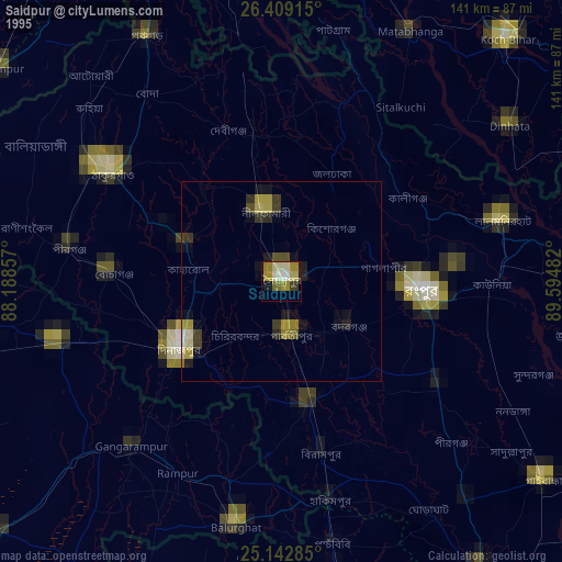
» NASA, Earths city lights 1995
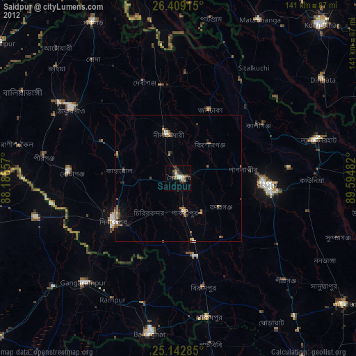
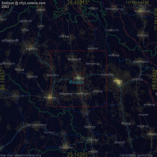
» NASA city lights 2003
» Earth at Night: Flat Maps 2012, 2016