Pīrgaaj night lights from space
Night Light of Pīrgaaj (Rangpur Division) from space (Bangladesh) Src. Average luminocity for 10x10km area is 1.6345% and for 50x50km: 5.104%.
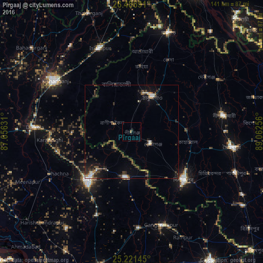
Analysis of Pīrgaaj night lights 2016
Square area 10x10 km:
 0%
0%90-99
0%80-89
0%70-79
0.57%60-69
0.95%50-59
0%40-49
0%30-39
0.76%20-29
0%10-19
0.76%0-9
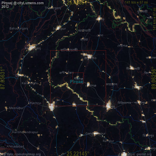
96.97%Square area 50x50 km:
0.42%90-99
0.69%80-89
0.32%70-79
0.37%60-69
0.49%50-59
0.66%40-49
1.4%30-39
1.59%20-29
1.67%10-19
2.54%0-9
89.87%Clear (daylight) street map image can be seen on geolist.org.
Map coordinates:
26° 29' 12.9" North, 87° 39' 22.7" East
25° 51' 21.1" North, 88° 21' 33.9" East
25° 13' 17.2" North, 89° 3' 45.2" East
Some cities around Pīrgaaj sort by population:
• Dinājpur
37.7 km =23.4 mi,  132°
132°
• Rāiganj, IN
35.8 km =22.2 mi,  221°
221°
• Kishanganj, IN
48.8 km =30.3 mi,  304°
304°
• Thākurgaon
22.4 km =13.9 mi,  29°
29°
• Islāmpur, IN
48.6 km =30.2 mi,  339°
339°
• Kāliyāganj, IN
24.8 km =15.4 mi,  187°
187°
• Dalkola, IN
52 km =32.3 mi,  272°
272°
• Raghunāthpur, IN
50.1 km =31.1 mi,  242°
242°
1337239 (p: 34,606)
Sources (retrieved 2019-11-25):
» Earth at Night: Flat Maps 2012, 2016