Rāiganj night lights from space
Night Light of Rāiganj (West Bengal) from space (India) Src. Average luminocity for 10x10km area is 53.3655% and for 50x50km: 9.2263%.
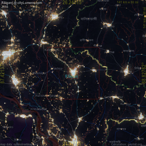


Analysis of Rāiganj night lights 2016
Square area 10x10 km:
 10.98%
90-99
15.15%80-89
4.92%70-79
3.79%60-69
4.17%50-59
8.71%40-49
6.06%30-39
11.74%20-29
15.15%10-19
18.56%0-9
0.76%Square area 50x50 km:
0.63%90-99
1.01%80-89
0.44%70-79
0.64%60-69
0.85%50-59
1.67%40-49
2.42%30-39
2.76%20-29
3.82%10-19
6.14%0-9
79.63%Clear (daylight) street map image can be seen on geolist.org.
Map coordinates:
26° 14' 42.5" North, 87° 25' 16.9" East
25° 36' 46.1" North, 88° 7' 28.2" East
24° 58' 37.6" North, 88° 49' 39.4" East
Some cities around Rāiganj sort by population:
• Dinājpur, BD
51.5 km =32 mi,  88°
88°
• Katihar
56.2 km =34.9 mi,  261°
261°
• Gangārāmpur
47 km =29.2 mi,  120°
120°
• Kāliyāganj
20.4 km =12.7 mi,  83°
83°
• Pīrgaaj, BD
35.8 km =22.2 mi,  41°
41°
• Dalkola
40.8 km =25.4 mi,  315°
315°
• Daulatpur
38 km =23.6 mi,  147°
147°
• Raghunāthpur
21 km =13 mi,  279°
279°
1259009 (p: 170,252)
Sources (retrieved 2019-11-25):
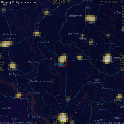
» NASA, Earths city lights 1995
» NASA city lights 2003
» Earth at Night: Flat Maps 2012, 2016